What is recorded here
In tillage, recently reseeded, on a gentle S-facing slope. Roughly circular area (dims. 33m N-S; 30m E-W) defined by remains of earthen bank (overall Wth 4.7m; Wth at top 1.1m; int. H 0.25m; ext. H 0.5m) best preserved around E and W arcs. Remains of fosse (overall Wth 4.8m; basal Wth 2m; max D 0.2m) are intermittent due to disturbance by plough. Plough line is very close to fosse and truncates it intermittently, particularly to N and E. Possible remains of a levelled outer bank (overall Wth 2.7m; Wth at top 1.0m; int. H 0.2m; ext. H 0.2m) SE-SW, where spared by plough. Interior is generally level and has a SE-facing slope in SE-sector.
Compiled by: Jean Farrelly
Date of upload: 26 August 2011
The monument record does not grant public access. Check the route and ask the landowner before entering private land.
- What survives
- Recorded monument
Places near here
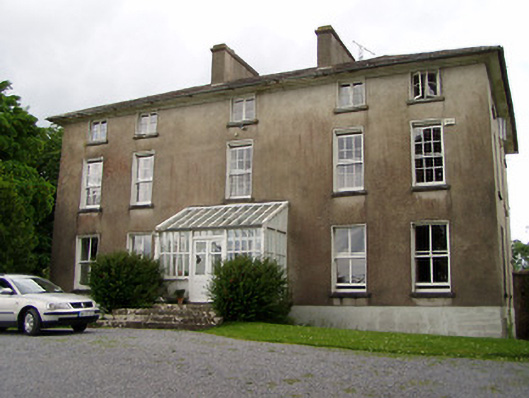 Silverfort Housecountry house · 811 yd
 Enclosure in SilverfortEnclosure · 952 yd
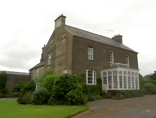 Beechmount Househouse · 1194 yd
 Enclosure in MagorbanEnclosure · 1538 yd
 The GarrisonCastle, tower house · 1.4 mi
 Taylor's WoodWood · 1.5 mi
 CastleCastle, tower house · 1.7 mi
 Noan WoodWood · 1.8 mi
 Ballinure HillMountain / peak · 1.9 mi
 Ballyknock HillMountain / peak · 4.2 mi
 Gobban Saer's GraveArchaeological place · 4.6 mi
 Hore AbbeyHeritage attraction · 5.6 mi