
What is recorded here
In miscanthus grass (H >3m), on highest area of field. No visible surface trace. According to local information, monument levelled. Depicted on 1st (1840) and 2nd (1952-4) eds. OS 6-inch map as a sub-oval area (map dims. c. 81m E-W; c. 64m N-S) truncated by field boundary running N-S across the western sector and similarly depicted on a sketch plan and section drawn in 1954 (OS Field Memorandums). According to Cahill (1982, R304), this monument was in good condition with two banks and one ditch. Identified as a sub-oval crop mark on aerial photography (ASIAP (37) 32-33, 03/08/1996). On the OS 6-inch map a linear depression (L c. 30m) is depicted c. 20m to N. There is a new house and entrance to the ENE and N respectively.
Compiled by: Jean Farrelly
Date of upload: 26 August 2011
The monument record does not grant public access. Check the route and ask the landowner before entering private land.
- What survives
- Recorded monument
Places near here
 CastleCastle, ringwork · 615 yd
 Enclosure in SilverfortEnclosure · 648 yd
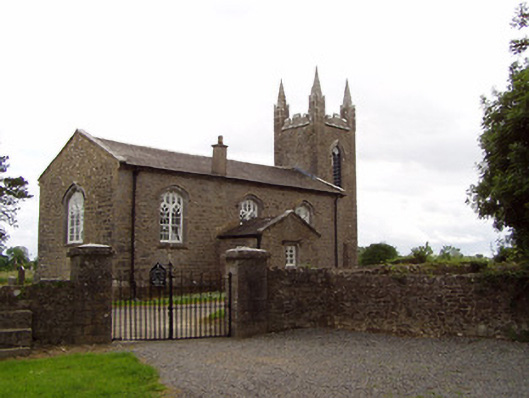 Church of the Holy Spirit (Magorban)church/chapel · 667 yd
 Church in MagorbanChurch · 684 yd
 MonumentArchaeological place · 783 yd
 Bawn in Ballyvadin (magorban Par.)Bawn · 1.5 mi
 Taylor's WoodWood · 2.3 mi
 Noan WoodWood · 2.5 mi
 Ballinure HillMountain / peak · 2.7 mi
 Kilknockan HillMountain / peak · 4.1 mi
 East GateMemorial · 4.8 mi
 Hore AbbeyHeritage attraction · 5.9 mi
Other information
Photo: Credit not shown in the picture search · Rights wording not checked; contact us if this picture should be removed