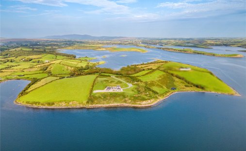
What is recorded here
Situated in rough mountainous terrain sloping very steeply down from S to N to the Keerglen River, a substantial meandering river whose steep high bank borders the N side of the enclosure.
This small enclosure is not indicated on any edition of the OS 6-inch maps. Raised D-shaped area (15.8m ENE-WSW; 5.6m NNW-SSE) enclosed on the curving S side by a grass-covered wall of drystone masonry and on the straight N side by the steep river bank. There is a cashel (MA014-042001-) c. 100m to W.
Compiled by: Jane O'Shaughnessy
Date of upload: 24 February 2022
A local fairy fort (ringfort/rath); wider significance not recorded.
The monument record does not grant public access. Check the route and ask the landowner before entering private land.
- What survives
- Recorded monument
Places near here
 Dragons GraveFairy fort / stone ringfort · 110 yd
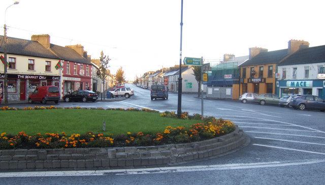 IndicatedFairy fort / earthen ringfort · 1709 yd
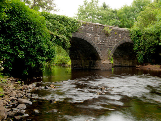 Ballinglen Bridgebridge · 1.3 mi
 Castle (in Ruins)Castle, tower house · 1.7 mi
 Lisheen Grave YardArchaeological place · 2.4 mi
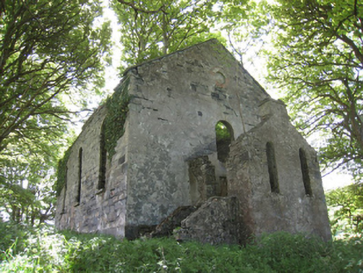 Ballinglen Presbyterian Churchchurch/chapel · 2.5 mi
 Ballycastle BeachBeach / strand · 4.2 mi
 Rathroe CastleCastle · 4.2 mi
 Céide FieldsArchaeological place · 5.1 mi
 BlowholeCliff · 5.3 mi
 Céide Fields Visitor CentreVisitor information · 5.5 mi
 Ceide FieldsHeritage attraction · 5.5 mi
Other information
Photo: Credit not shown in the picture search · Rights wording not checked; contact us if this picture should be removed