
What is recorded here
Situated in rough mountainous terrain sloping very steeply down from S to N to the Keerglen River, a substantial meandering river whose steep high bank borders the N side of the cashel.
This cashel is named ‘Doondragon or the Dragon’s Grave’ on the 1922 OS 6-inch map. Raised circular area (diam. 26.2m) enclosed by a largely grassed-over, ruined wall of drystone masonry. The wall is reduced to foundation level at NNW−ENE where the cashel is bordered by the river. There is a Man-made underground passage (MA014-042002-) within the cashel wall at SSW.
Aldridge (1961, 127) attributes significance to the cashel as it lies on an ancient routeway along the valley of the Keerglen River, possibly the route of the cattle raid described in the medieval saga, Táin Bó Flidhais. He noted that in the cashel ‘there was reputed to be a ‘Giant’s Grave’ covered with huge flags in it, and a passage from the river bank running into the Dun.’ This undoubtedly relates to the Man-made underground passage (MA014-042002-), which appears to have inspired the placename, ‘Dragon’s Grave’.
There is a small cairn (MA014-123----) 25m to S, and an enclosure (MA014-122----) c. 100m to E.
Compiled by: Jane O'Shaughnessy
Date of upload: 24 February 2022
A local fairy fort (ringfort/rath); wider significance not recorded.
The monument record does not grant public access. Check the route and ask the landowner before entering private land.
- What survives
- Recorded monument
Places near here
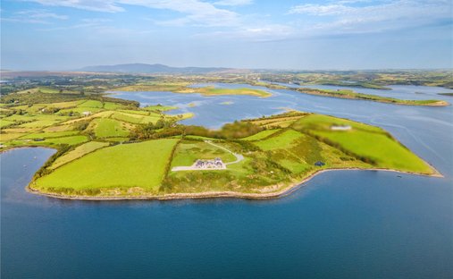 Enclosure in KeerglenEnclosure · 110 yd
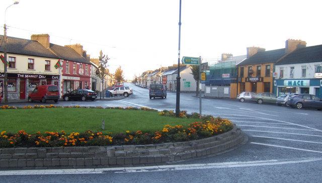 IndicatedFairy fort / earthen ringfort · 1.0 mi
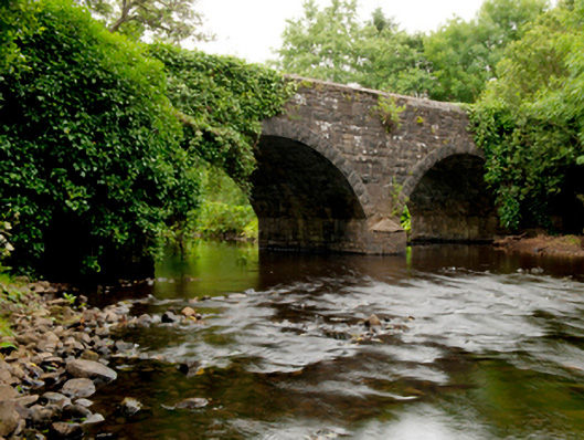 Ballinglen Bridgebridge · 1.3 mi
 Castle (in Ruins)Castle, tower house · 1.7 mi
 Lisheen Grave YardArchaeological place · 2.5 mi
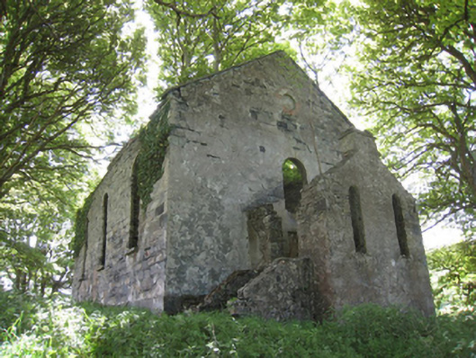 Ballinglen Presbyterian Churchchurch/chapel · 2.5 mi
 Ballycastle BeachBeach / strand · 4.2 mi
 Rathroe CastleCastle · 4.2 mi
 Céide FieldsArchaeological place · 5.1 mi
 BlowholeCliff · 5.2 mi
 Céide Fields Visitor CentreVisitor information · 5.4 mi
 Ceide FieldsHeritage attraction · 5.4 mi
Other information
Photo: Credit not shown in the picture search · Rights wording not checked; contact us if this picture should be removed