
What is recorded here
Visible on a GSI aerial photo (S 58, 57) as the cropmarks of some 5 small enclosures, possible ring-ditches. A cist burial (KD040-003----) was discovered c. 200m to the NW.
Date of upload: 8 September 2016
The monument record does not grant public access. Check the route and ask the landowner before entering private land.
- What survives
- Recorded monument
Places near here
 Enclosure in Prumpelstown LowerEnclosure · 423 yd
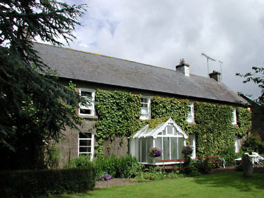 Woodlands Housefarm house · 519 yd
 water pumpwater pump · 571 yd
 Enclosure in DairyfarmEnclosure · 837 yd
 ProclamationMemorial · 1144 yd
 Franciscan FriaryHeritage attraction · 1480 yd
 Castledermot Round TowerHeritage attraction · 1734 yd
 Gorteen MoundCastle, unclassified · 1.8 mi
 Lorcán Ó TuathailMemorial · 2.3 mi
 CastleCastle, tower house · 2.3 mi
 Mullaghreelan WoodForest · 2.5 mi
 Cork oakCork oak · 3.1 mi
Other information
Photo: Credit not shown in the picture search · Rights wording not checked; contact us if this picture should be removed