
What is recorded here
New site identified by John Cronin & Associates (JCA) under Licence No. 16E0127 prior to wind farm development in Grousemount, Kilgarvan, Co. Kerry by ESB Wind Development Ltd. Sub-circular dry-stone enclosure identified on realigned access spur to T.07 at ITM Grid co-ordinate 509981, 569865. Located c.40m southeast…
Read the whole record
From the National Monuments Service (Archaeological Survey of Ireland) record KE095-019
Places near here
Photo credits
- Maker not stated on source page, www.pinterest.com
- Maker not stated on source page, en.wikipedia.org
- Maker not stated on source page, www.alamy.com
- Willow, Wikimedia Commons · CC BY 2.5
- mozzercork @ flickr, Wikimedia Commons · CC BY 2.0
- Andrew Wood, Wikimedia Commons · CC BY-SA 2.0
- Maker not stated on source page, commons.wikimedia.org
- Maker not stated on source page, www.gpsmycity.com
- Adrian King, Geograph · CC BY-SA 2.0
- National Inventory of Architectural Heritage
 Anomalous stone group in GrousemountAnomalous stone group · 474 yd
Explorer Tom Anomalous stone group in Grousemount is four slabs standing in a rectangle because they are proud of having a notch…
 Anomalous stone group in KnockanruddigAnomalous stone group · 2.0 mi
Explorer Tom The Anomalous stone group in Knockanruddig loves the song 'Three Little Pigs' because it has exactly three upright…
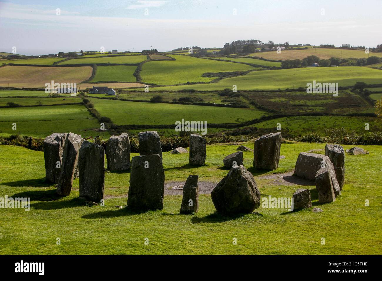 Standing stoneStanding stone, pair · 2.1 mi
Explorer Tom Standing stone pair in Gort An Phludaigh are standing close together, whispering secrets about why the map makers got…
 European ash2.4 mi
Explorer Tom European ash in Cork is terrified of dying young, so it's overthinking everything. If it won the lotto, it would buy a…
 Gougane BarraValley and heritage place · 2.4 mi
Explorer Tom I came to Gougane Barra for a quiet minute. Cork laid out an entire valley. Gougane Barra manages to squeeze a lake, an…
 Aireagal Naomh Finbarr [Saint Finbarr's Oratory]Church/chapel · 2.4 mi
Explorer Tom Aireagal Naomh Finbarr is on a tiny island at the source of the River Lee. Built in 1903, it’s very Celtic Revival and…
 Wedge tomb in KnockanuhaWedge tomb · 2.5 mi
Explorer Tom Wedge tomb in Knockanuha once hosted a rock band, allegedly destroying one side stone during an encore. The gap where…
 Wedge tomb in BarnastookaWedge tomb · 2.7 mi
Explorer Tom Wedge tomb in Barnastooka has strong opinions about the road leading to it, mostly that it’s too bumpy. It sits in…
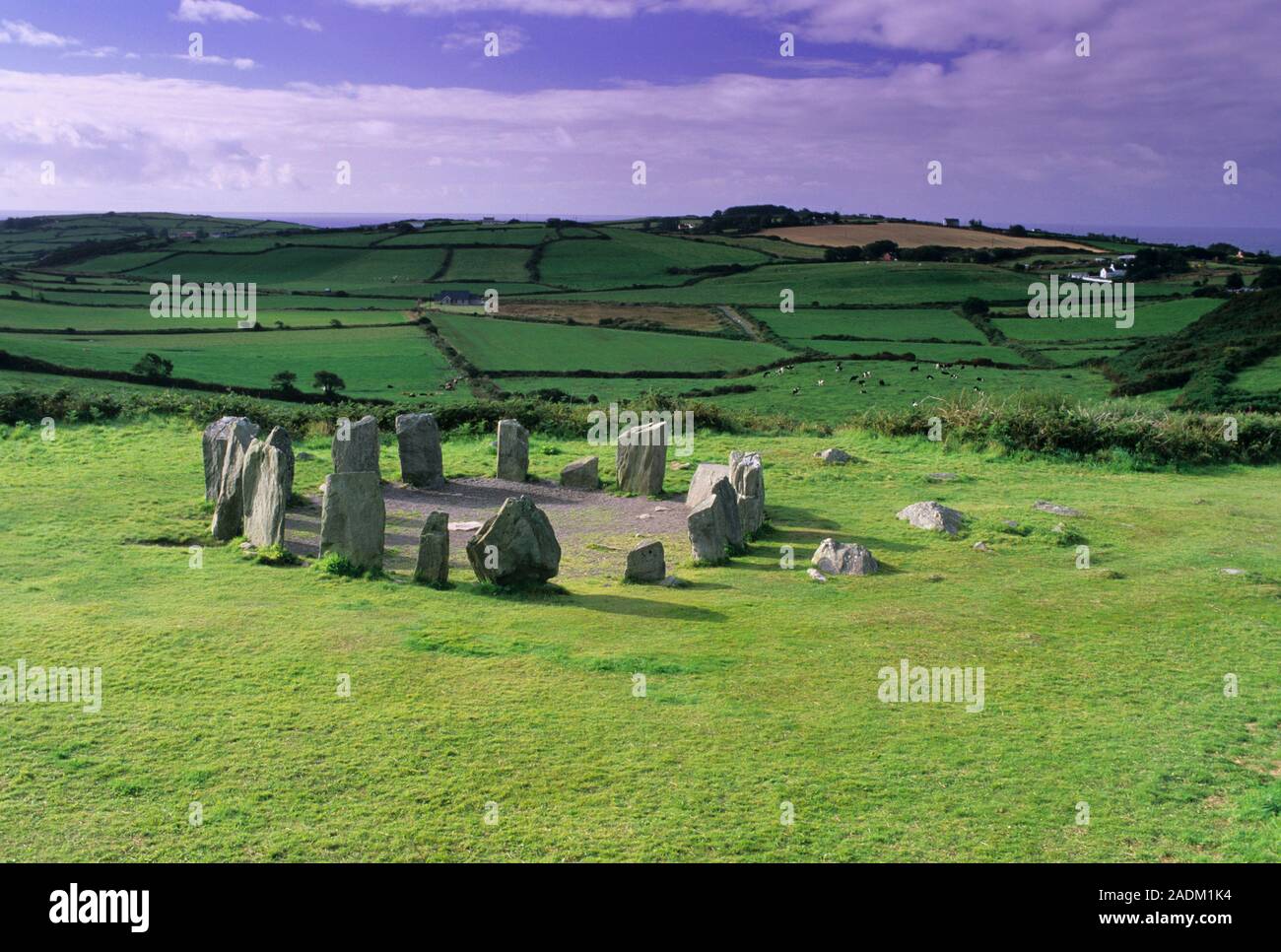 Standing stone in DerreencolligStanding stone · 4.1 mi
Explorer Tom Standing stone in Derreencollig sits in a commanding position overlooking the river valley, probably judging everyone…
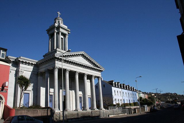 Catholic ChurchChurch · 18 mi
Explorer Tom Catholic Church in Farrankeal sits right next to the fair green, so it's probably seen some wild characters over the…
 Knocknagree Roman Catholic ChurchChurch/chapel · 18 mi
Explorer Tom Knocknagree Roman Catholic Church is having a quiet rivalry with every other church in town. It’s got Gothic lancets…
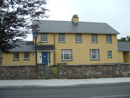 Knocknagree Garda StationGarda station/constabulary barracks · 18 mi
Explorer Tom 17. Knocknagree Garda Station looks like a fancy country house because it was built in the Domestic Revival style…
More archaeology and monuments in County Kerry · All of County Kerry

What do you know about this place?Tap to add a comment or ask a question