What is recorded here
Visible on a GSI aerial photograph (N 468-7) as a group of small rectangular enclosures, possibly the remains of a field system. Located mid-way along a long, gentle, SW-facing slope in freshly planted tillage. No obviously visible surface traces survive.
Compiled by: Gearóid Conroy
Date of upload: 10 June 2011
The monument record does not grant public access. Check the route and ask the landowner before entering private land.
- What survives
- Recorded monument
Places near here
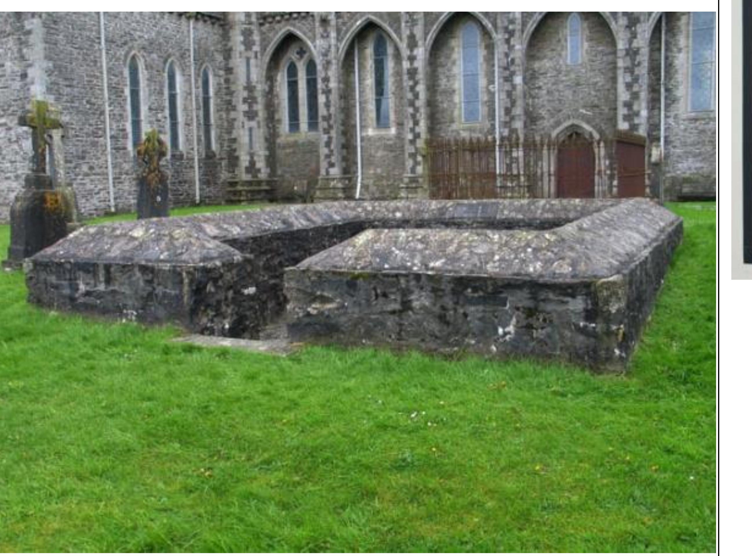 Enclosure in GriffinrathEnclosure · 626 yd
 Griffin RathFairy fort / earthen ringfort · 1228 yd
 CastleCastle, tower house · 1676 yd
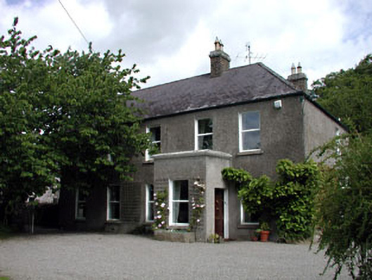 Windgates Househouse · 1.0 mi
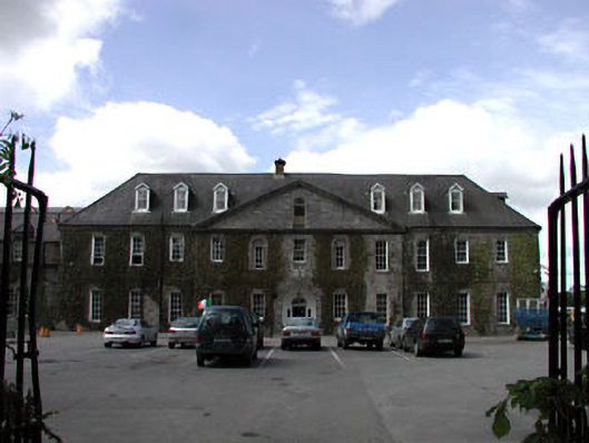 Celbridge Collegiate Schoolcharter school · 1.1 mi
 Andrew FayMemorial · 1.2 mi
 Joseph McCormackMemorial · 1.4 mi
 Oriental planeOriental plane · 1.6 mi
 Common LimeCommon Lime · 1.7 mi
 Conolly's FollyHeritage attraction · 1.7 mi
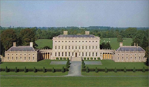 Castletown HouseHeritage attraction · 1.9 mi
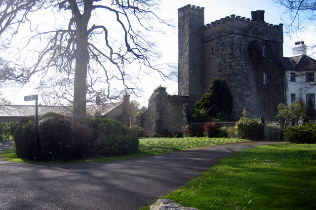 Barberstown CastleCastle, tower house · 2.1 mi