What is recorded here
On a slight rise of ground on poorly drained pasture in undulating pasture with good views in all directions. Slightly raised circular platform (diam. NE-SW 26m; 25.5m N-S) defined by a scarp (H 0.8m) and waterlogged fosse (Wth 5.5m; ext. D 0.65) with no evidence of an entrance feature. Old field drains running off waterlogged fosse at N in a NE direction, no break in fosse to suggest an entrance feature. Interior was very wet at time of visit.
On a slight rise of ground on poorly drained pasture in undulating pasture with good views in all directions. Slightly raised circular platform (diam. NE-SW 26m; 25.5m N-S) defined by a scarp (H 0.8m) and waterlogged fosse (Wth 5.5m; ext. D 0.65) with no evidence of an entrance feature. Old field drains running off waterlogged fosse at N in a NE direction, no break in fosse to suggest an entrance feature.…
From the National Monuments Service (Archaeological Survey of Ireland) record TS051-022
The monument record does not grant public access. Check the route and ask the landowner before entering private land.
- What survives
- Recorded monument
Places near here
Photo credits
- National Inventory of Architectural Heritage
- Dublin Castle RIC, Wikimedia Commons · Public domain
- Mike Searle, Wikimedia Commons · CC BY-SA 2.0
- EamonnPKeane, Wikimedia Commons · CC0
- Hywel Williams, Geograph · Creative Commons Attribution-ShareAlike 2.0
- Colin Park, Geograph · CC BY-SA 2.0
- CaitNi, Wikimedia Commons · CC BY-SA 4.0
 Greenfield HouseHouse · 570 yd
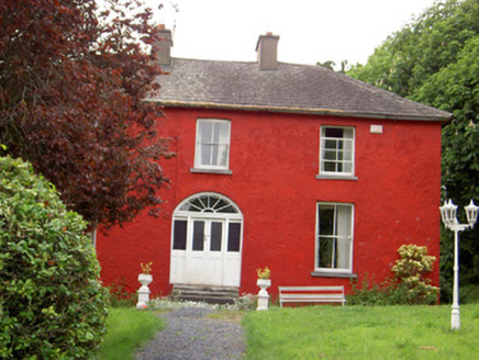 Chadville HouseHouse · 1368 ydGreen Field ParkWood · 1619 yd
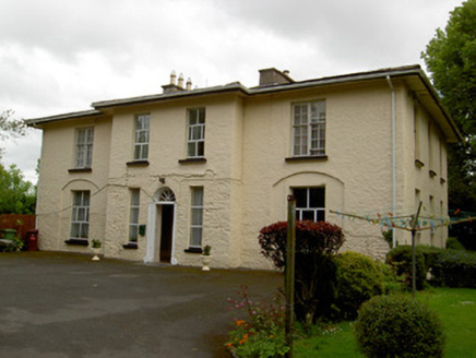 Philipston HouseHouse · 1.0 mi
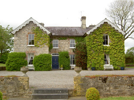 Donohill RectoryRectory/glebe/vicarage/curate's house · 1.3 mi
 Soloheadbeg AmbushAmbush · 2.5 mi
_-_geograph.org.uk_-_1542131.jpg/250px-Castles_of_Munster,_Oola,_Limerick_(2)_-_geograph.org.uk_-_1542131.jpg "Photo: Mike Searle, Wikimedia Commons · CC BY-SA 2.0") Oola Castle (in ruins)Castle, tower house · 4.0 mi
Oola Castle (in ruins)Castle, tower house · 4.0 mi Coonagh CastleCastle · 4.6 mi
 Standing stone in Longstone (cullen Par.)Standing stone · 6.3 mi
 Ladys WellHoly well · 15 mi
 SlievereaghMountain / peak · 16 mi
 CarrigeenamronetyMountain / peak · 22 mi
More archaeology and monuments in County Tipperary · All of County Tipperary
What do you know about this place?