What is recorded here
Located at the top of a slight S-facing slope, and visible on aerial photographs (CUCAP: AVK 61; BDJ 15). The cropmark of a small enclosure (diam. c. 30m) defined by a fosse feature is attached as an annexe to the perimeter of rath (WX047-062001-) at W. The rath (WX047-062002-) is c. 30m to the NW.
From the National Monuments Service (Archaeological Survey of Ireland) record WX047-062003
The monument record does not grant public access. Check the route and ask the landowner before entering private land.
- What survives
- Recorded monument
Places near here
Photo credits
- National Inventory of Architectural Heritage
- Cozzmick, Wikimedia Commons · CC BY-SA 4.0
CastleCastle, tower house · 441 ydMass-rock in TomhaggardMass-rock · 933 yd graveyard/cemetery1154 ydEcclesiastical enclosure in TomhaggardEcclesiastical enclosure · 1190 ydchurch/chapel1195 yd1798 Memorial PlaqueMemorial · 1197 ydThe Bull RockForest · 1591 ydThe HamBay · 1.0 miThe Heron's MeadowForest · 1.0 miThe White Hole BeachBeach / strand · 1.4 miCastleCastle, tower house · 1.5 miSigginstown Island (Little)Islet · 1.7 mi
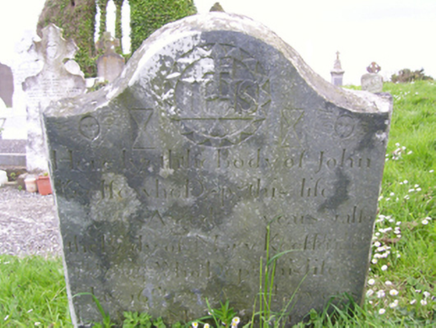 graveyard/cemetery1154 ydEcclesiastical enclosure in TomhaggardEcclesiastical enclosure · 1190 yd
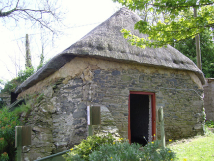 church/chapel1195 yd1798 Memorial PlaqueMemorial · 1197 ydThe Bull RockForest · 1591 ydThe HamBay · 1.0 miThe Heron's MeadowForest · 1.0 miThe White Hole BeachBeach / strand · 1.4 mi
 CastleCastle, tower house · 1.5 miSigginstown Island (Little)Islet · 1.7 mi
More archaeology and monuments in County Wexford · All of County Wexford
What do you know about this place?