
What is recorded here
From the National Monuments Service (Archaeological Survey of Ireland) record TS086-035
Places near here
Photo credits
- National Inventory of Architectural Heritage
- Kmcnamee, Wikimedia Commons · CC BY-SA 4.0
- Maker not stated on source page, www.alamy.com
- Maker not stated on source page, en.wikipedia.org
- Maker not stated on source page, commons.wikimedia.org
- A copy of this photograph is owned by National Library of Ireland and can be viewed here [1], Wikimedia Commons · Public domain
- john salter, Geograph · CC BY-SA 2.0
- Maker not stated on source page, www.pinterest.com
- Croffle009 / Trip.com; photographer not separately stated, Trip.com
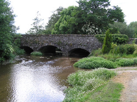 Ballyporeen BridgeBridge · 565 yd
Explorer Tom Ballyporeen Bridge replaced stepping stones because people got tired of wet feet and falling in the water. It has…
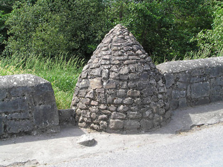 well567 yd
Explorer Tom Well in Glenacunna has an imaginary fan club of frogs who sing to it every evening after dark. It’s got this corbelling…
 Skeheenarinky GAA pitchGAA ground · 643 yd
 St. Mary's CemeteryCemetery · 915 yd
Explorer Tom St. Mary's Cemetery nearly made the national news when a goose sat on the oldest headstone for a solid week. Locals…
 Fairy fort / earthen ringfort in DanganFairy fort / earthen ringfort · 1.0 mi
Explorer Tom Fairy fort / earthen ringfort in Dangan would get 'Finally Got Some Rest' carved on its tombstone. The brambles inside…
 Knockarum WoodForest · 2.1 mi
Explorer Tom Knockarum Wood in County Tipperary has very strong opinions on modern buildings, specifically that they all look like…
 Shanbally CastleCastle · 2.6 mi
Explorer Tom Shanbally Castle in County Tipperary would survive a zombie apocalypse purely by standing still and hoping they forget…
 Carran HillMountain / peak · 2.7 mi
Explorer Tom Carran Hill in County Tipperary has a long list of former names, including 'The Lump', 'That Thing', and 'Don't Ask'.…
 Castle (in ruins)House, fortified house · 3.4 mi
Explorer Tom Castle in Burncourt is where a cow once tried to buy the deed because she was fed up with the gossip. Sir Richard built…
Araglen GAA pitchGAA ground · 4.2 mi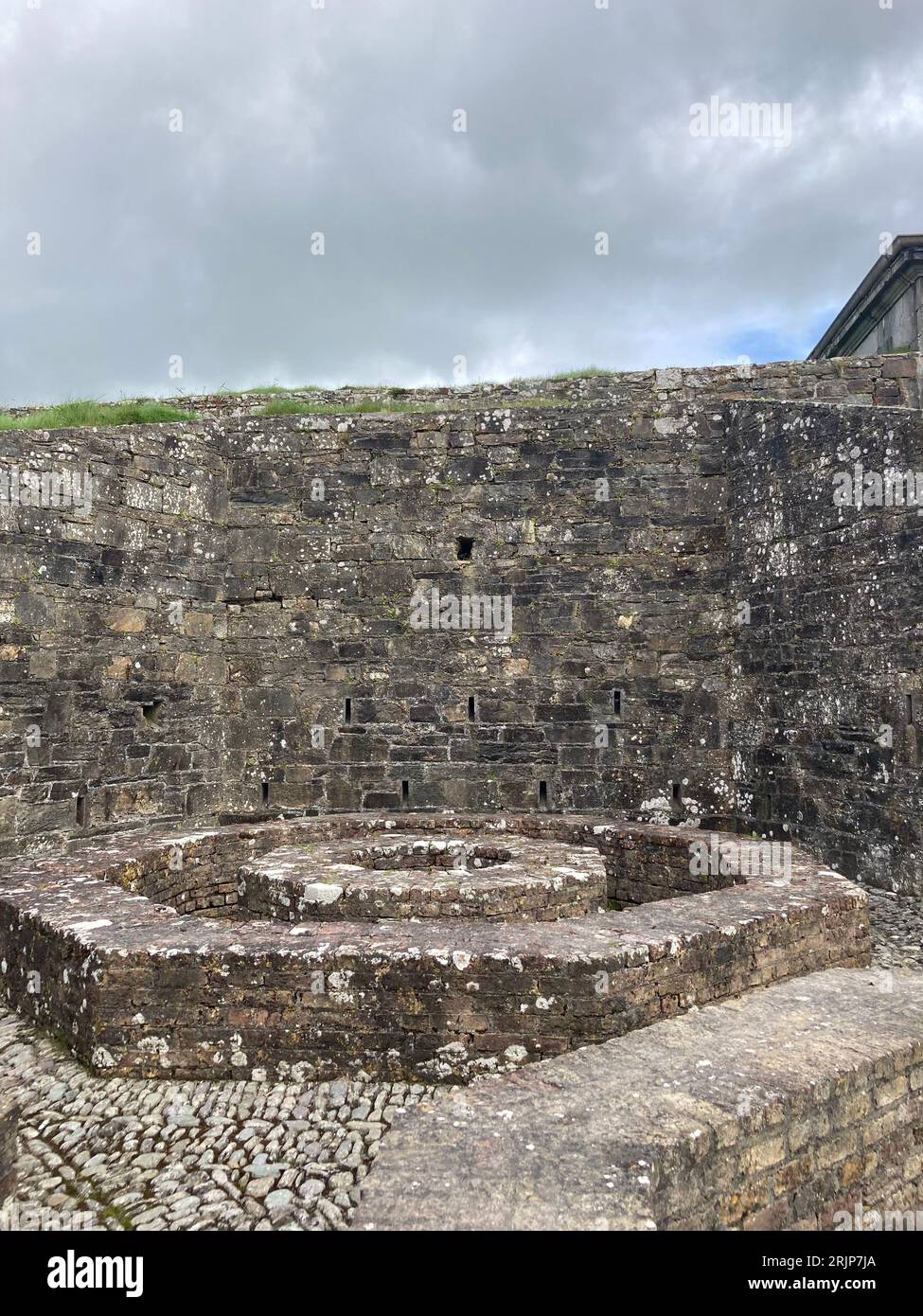 Fairy fort / earthen ringfort in Billeragh WestFairy fort / earthen ringfort · 4.3 mi
Explorer Tom Fairy fort / earthen ringfort in Billeragh West is shaped like a D because someone thought a circle was too boring for…
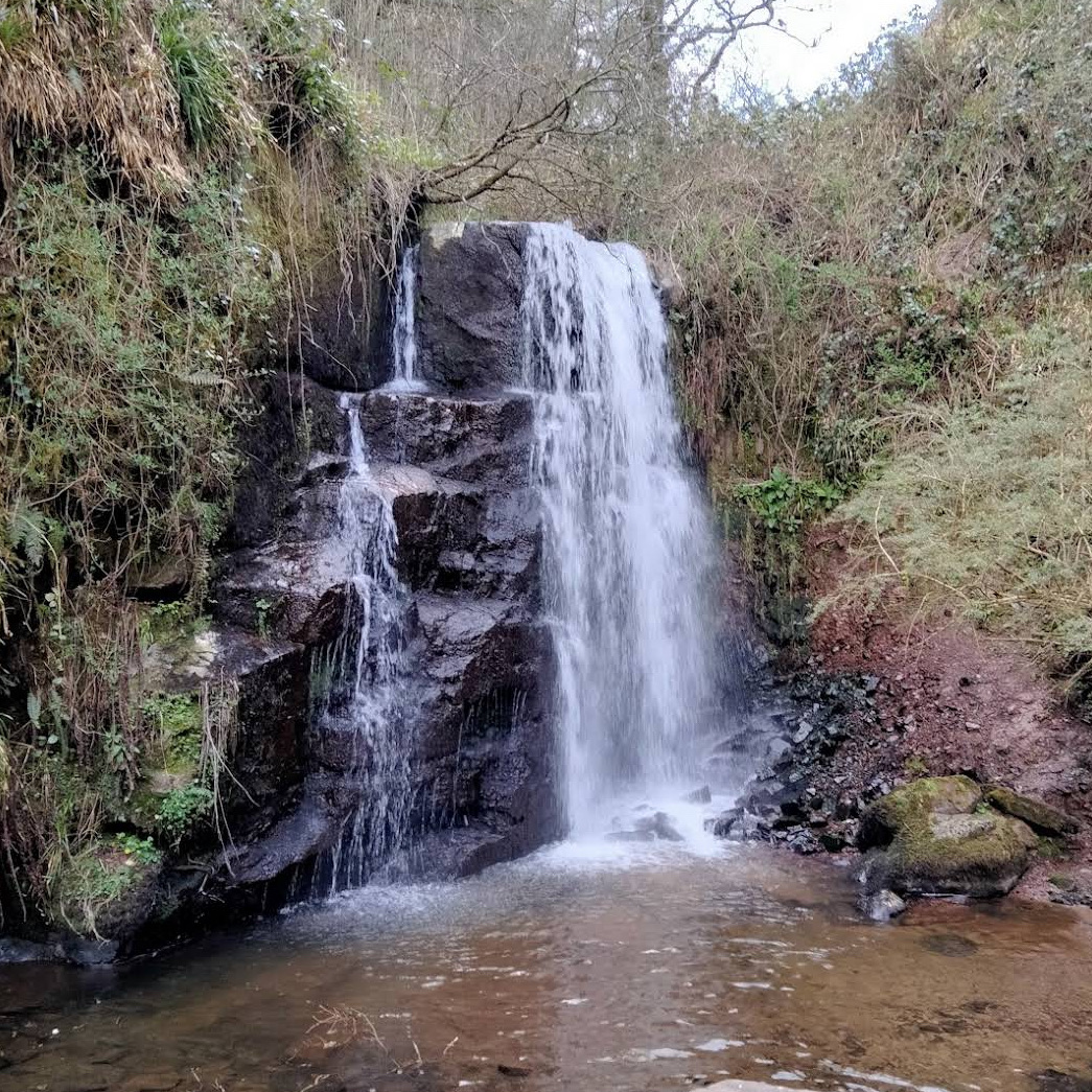 Ballard WaterfallWaterfall · 4.7 mi
Explorer Tom Ballard Waterfall hides in the woods near Kilworth, County Cork, as if the Muchnagh River has been keeping a rather…
More archaeology and monuments in County Tipperary · All of County Tipperary

What do you know about this place?Tap to add a comment or ask a question