What is recorded here
Located on a fairly level landscape. The cropmark of a circular feature (diam. c. 20m) defined by a slight fosse is visible only on Apple Maps which utilises a survey conducted by Bluesky International during June 2018. It has an entrance (Wth c. 2m) at W between the slightly widened terminals of the defining trench. It was first reported by Matthew Mullen-Reynolds. See the attached enhanced view from Apple Maps
Compiled by: Michael Moore
Date of upload: 7 February 2020
From the National Monuments Service (Archaeological Survey of Ireland) record ME028-089
The monument record does not grant public access. Check the route and ask the landowner before entering private land.
- What survives
- Recorded monument
Places near here
Photo credits
- National Inventory of Architectural Heritage
- Christian Pirkl, Wikimedia Commons · CC BY-SA 3.0 at
- Kieran Campbell, Wikimedia Commons · CC BY-SA 2.0
- Kieran Campbell, Geograph · CC BY-SA 2.0
- Sitomon, Wikimedia Commons · CC BY-SA 2.0
- Kieran Campbell, Geograph · Creative Commons Attribution-ShareAlike 2.0
- Maker shown on the Wikimedia Commons file page · CC BY-SA 3.0
- Jonjobaker, Wikimedia Commons · CC BY-SA 4.0
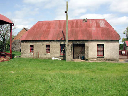 farm house962 yd
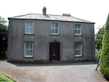 BeechvilleHouse · 995 yd
 Sycamore1253 yd
 CrossCross, Wayside cross · 1405 yd
 Gormanston CastleHouse, fortified house · 1544 yd
 Gormanston CastleCastle · 1556 yd
 European Yew1586 ydBen HeadCliff · 1.0 mi
 HarbourQuay · 2.0 mi
 Battle of JulianstownBattle · 2.2 mi
 Seamus Ennis Cultural CentreMemorial · 4.6 mi
 Balrothery Heritage CentreMuseum · 4.7 mi
More archaeology and monuments in County Meath · All of County Meath
What do you know about this place?