
What is recorded here
Indicated on the 1st (1839-40) ed. OS 6-inch map as a circular enclosure (diam. c. 30m) but not shown on the 1945-6 revision. An unpublished survey undertaken in 1981 describes, 'Part of the rath in Glendine is removed. It is on the brow of a steep hill. Its entrance which faced south, is approached from the level ground at the top the high hill. It is thirty yards across its centre' (Doyle 1981).
The area has become a suburb of Kilkenny City and a bungalow, built in 1999, appears to occupy the NE quadrant of the enclosure. The remaining portion is largely within the garden of this house, though the NW edge may continue into the garden of the neighbouring property to the NW.
Compiled by: Jean Farrelly
Date of upload: 16 September 2020
A local fairy fort (ringfort/rath); wider significance not recorded.
The monument record does not grant public access. Check the route and ask the landowner before entering private land.
- What survives
- Recorded monument
Places near here
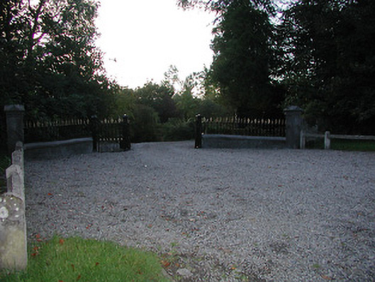 Fairviewgates/railings/walls · 399 yd
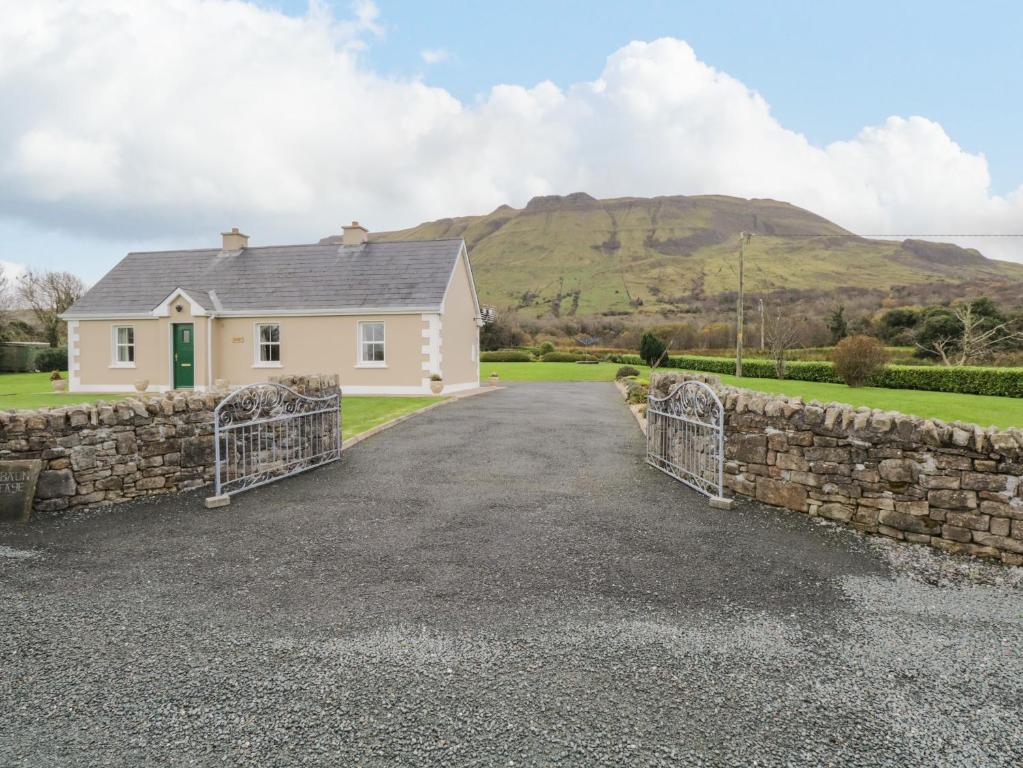 Enclosure in BaunEnclosure · 441 yd
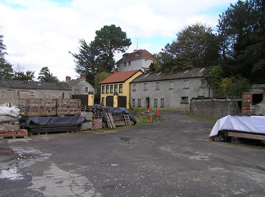 mill (water)mill (water) · 672 yd
 IndicatedEnclosure · 911 yd
 Jurassic NewparkHeritage attraction · 1064 yd
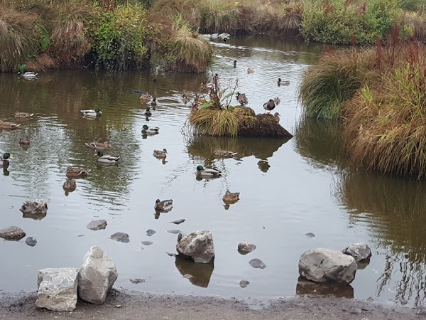 Newpark Marsh ParkNature reserve · 1264 yd
 Lady DesartMemorial · 1282 yd
 Kilkenny AFC & Kilkenny & District Soccer LeagueMemorial · 1526 yd
 Stephens Barracks MuseumMuseum · 1734 yd
 Black PoplarBlack Poplar · 1.1 mi
 Saint Canice's Cathedral Round TowerViewpoint · 1.2 mi
 Grace's Old CastleCastle · 1.4 mi
Other information
Photo: Credit not shown in the picture search · Rights wording not checked; contact us if this picture should be removed