What is recorded here
Marked only on the 1910 ed. of the OS 6-inch map, it is situated on a knoll in an area of marshy grassland and scrub towards the bottom of the NE-facing slope of the Tullyskeherny plateau. This is a grass and reed-covered circular area (diam. 47m E-W; 44m N-S) defined by traces of a slight scarp (H 0.1-0.2m), and it is largely overgrown with scrub in the SE part. Moore (Dublin: Stationery Office, 2003).
From the National Monuments Service (Archaeological Survey of Ireland) record LE012-017
The monument record does not grant public access. Check the route and ask the landowner before entering private land.
- What survives
- Recorded monument
Places near here
Photo credits
- National Inventory of Architectural Heritage
- John M, Geograph · Creative Commons Attribution-ShareAlike 2.0
- Kenneth Allen, Wikimedia Commons · CC BY-SA 2.0
- Kenneth Allen, Geograph · CC BY-SA 2.0
- Richard Webb, Wikimedia Commons · CC BY-SA 2.0
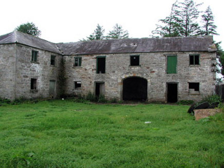 HollymountOutbuilding · 264 ydIndicatedFairy fort / earthen ringfort · 1159 ydThe Giants GraveArchaeological place · 1.1 mi
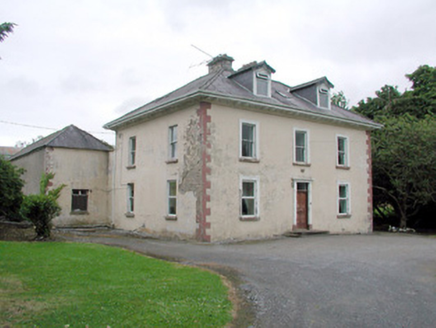 Brookfield HouseFarm house · 1.3 mi
 IndicatedBastioned fort · 1.8 mi
 Manorhamilton CastleCastle · 2.1 miGiants RockNamed rock · 2.3 mi
 Dough MountainMountain / peak · 3.4 mi
 BenboMountain / peak · 3.8 miKilroosk RockNamed rock · 3.8 miAshisland WoodForest · 4.4 miLonghill WoodForest · 4.6 mi
More archaeology and monuments in County Leitrim · All of County Leitrim
What do you know about this place?