What is recorded here
On a slight S-facing slope in gently undulating pasture. Possible castle (TS066-002----) located 150m to the NW and a ringfort (TS066-004----) 250m to the SSE. Roughly circular area (diam. c. 20m) defined by an irregular earthen scarp (Wth 1.1m; H 0.6m) with a shallow external fosse (overall Wth 4m; D 0.1m). From NE-W the scarp and the S half of the interior have been mostly levelled. The fosse encloses the NE to NW portion of the monument having a very shallow irregular profile. The fosse is not visible at ground level NW-NE. The original entrance is not recognisable. The N raised half of the interior undulates irregularly. The interior is clear of overgrowth.
Compiled by: Jean Farrelly
Date of upload: 26 August 2011
The monument record does not grant public access. Check the route and ask the landowner before entering private land.
- What survives
- Recorded monument
Places near here
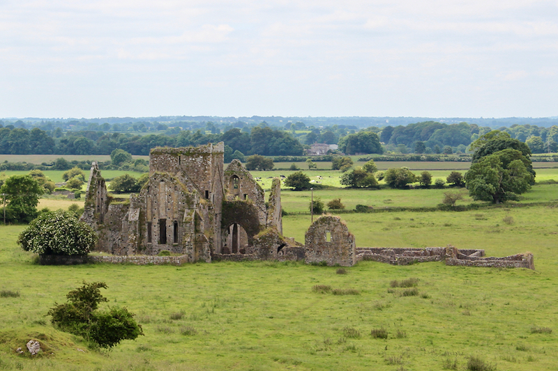 Enclosure in BallynacreeEnclosure · 457 yd
 Site of ChurchChurch · 1058 yd
 Kilcornan Church (in Ruins)Church · 1.1 mi
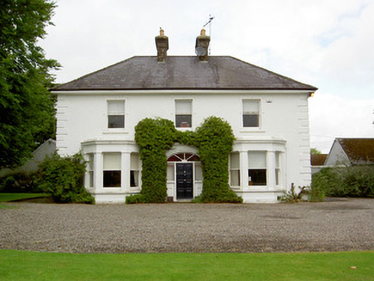 Farranasa Househouse · 1.3 mi
 Site of Castle LoaghnyCastle, unclassified · 1.4 mi
 CastleCastle, ringwork · 2.4 mi
 Oola HillMountain / peak · 4.0 mi
 Kilteely HillMountain / peak · 4.8 mi
 St. Patrick's WellSpring · 5.0 mi
 St Patrick's WellSpring · 5.5 mi
 Flat cemetery in Knockainy WestFlat cemetery · 6.4 mi
 Ballinvreena LoopVisitor information · 8.4 mi