What is recorded here
On a gradual ESE-facing slope in gently undulating terrain, under tillage. A possible enclosure identified as a semi-circular cropmark (diam. c. 30m) on an aerial photograph (ASI AP Flight 20, 11.07.2005). It is likely that the enclosure was originally circular and has been bisected by an NW-SE field boundary with only the S half of the enclosing element visible as a cropmark. The enclosure is not visible at ground level.
Compiled by: Jean Farrelly
Date of upload: 26 August 2011
The monument record does not grant public access. Check the route and ask the landowner before entering private land.
- What survives
- Recorded monument
Places near here
 IndicatedFairy fort / earthen ringfort · 240 yd
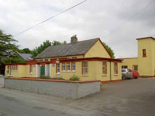 Gaile National Schoolschool · 1159 yd
 Twoford Bridgesbridge · 1500 yd
 Enclosure in Newtown (holycross Par.)Enclosure · 1703 yd
 Milltown CastleCastle · 1.5 mi
 Nodstown CastleCastle, tower house · 1.7 mi
 Killough Hill (site of)Mountain / peak · 1.8 mi
 Clonoulty HillMountain / peak · 3.6 mi
 Cormackstown Heritage CentreMuseum · 3.7 mi
 Gift Horse GalleryGallery · 4.3 mi
 Wildlife CorridorWood · 4.7 mi
 Drum WoodWood · 4.7 mi