What is recorded here
On a flat break of a very gradual NW-facing slope. The slope continues towards the River Suir which flows c. 270m to the NW. The land has been reclaimed and is incorporated in a gallops, the monument being located in the W corner of the gallops. An aerial photograph (GB90.CI. 14, 16 July 1989) shows the cropmark of part of a possible curvilinear enclosure defined by a fosse.
Despite the grass being very short at the time of inspcection the monument was not visible above ground.
Compiled by: Jean Farrelly
Date of upload: 05 March 2013
The monument record does not grant public access. Check the route and ask the landowner before entering private land.
- What survives
- Recorded monument
Places near here
 Twoford Bridgesbridge · 431 yd
 Enclosure in Newtown (holycross Par.)Enclosure · 632 yd
 IndicatedFairy fort / earthen ringfort · 1009 yd
 Milltown CastleCastle · 1.1 mi
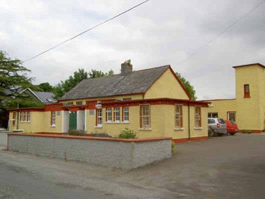 Gaile National Schoolschool · 1.3 mi
 RathkennanCastle, motte and bailey · 1.3 mi
 Killough Hill (site of)Mountain / peak · 2.3 mi
 Clonoulty HillMountain / peak · 3.1 mi
 Cormackstown Heritage CentreMuseum · 3.4 mi
 Drum WoodWood · 4.2 mi
 Wildlife CorridorWood · 4.8 mi
 Gift Horse GalleryGallery · 4.8 mi