What is recorded here
In tillage. A sub-square enclosure (dims. c. 32m NE-SW and NW-SE) defined by a fosse, visible as a cropmark on satellite imagery (2021 Maxar Technologies, viewed May 2021), identified and reported by Jean-Charles Caillère. The enclosure has straight sides with rounded corners. A small field which is indicated on the 1st (1840-41) ed. OS 6-inch map but has since been levelled, is visible overlying the NE sector of the enclosure.
See attached photograph:
TS047-125----_01 Satellite image (2021 Maxar Technologies, viewed May 2021)
Compiled by: Jean Farrelly
Date of upload: 2 June 2021
The monument record does not grant public access. Check the route and ask the landowner before entering private land.
- What survives
- Recorded monument
Places near here
 IndicatedFairy fort / earthen ringfort · 481 yd
 Enclosure in ToberadoraEnclosure · 1068 yd
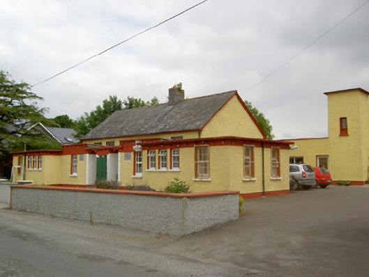 Gaile National Schoolschool · 1206 yd
 Twoford Bridgesbridge · 1702 yd
 Nodstown CastleCastle, tower house · 1.3 mi
 Milltown CastleCastle · 1.4 mi
 Killough Hill (site of)Mountain / peak · 2.0 mi
 Clonoulty HillMountain / peak · 3.5 mi
 Cormackstown Heritage CentreMuseum · 4.1 mi
 Gift Horse GalleryGallery · 4.6 mi
 Drum WoodWood · 4.7 mi
 Wildlife CorridorWood · 5.1 mi