
What is recorded here
Located on a W-facing slope under rough pasture with views of Piperstown Hill to the N and Glenasmole to the SW. An enclosure noted on the OS 1st. edition map (1837) as a small enclosure NE of the hut site (DU025-036001-). There is no visible trace on the ground.
Compiled by: Geraldine Stout and Padraig Clancy
Revised upload on: 15 July 2018
This remains an important historical record, but the official description says the monument is no longer visible or has been destroyed. The monument record does not grant public access. Check the route and ask the landowner before entering private land.
- What survives
- No visible remains or recorded as destroyed
Places near here
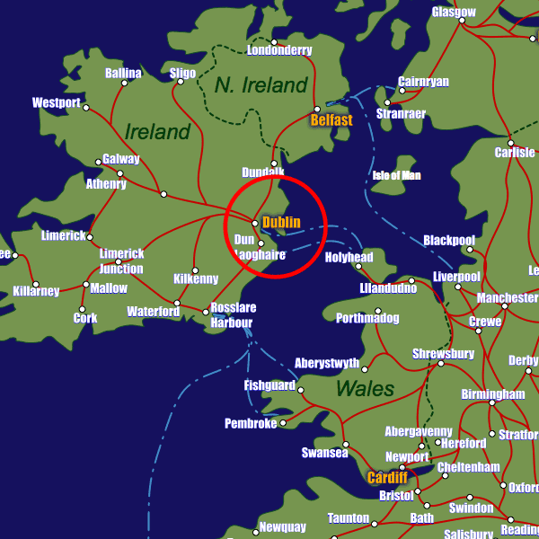 Field system in CunardField system · 91 yd
 Enclosure in Cunard,glassamucky BrakesEnclosure · 146 yd
 Castlekelly Bridgebridge · 807 yd
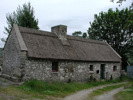 Glenasmole Cottagefarm house · 841 yd
 CastleCastle, unclassified · 1019 yd
 Featherbed ForestForest · 1300 yd
 Killakee MountainMountain / peak · 1512 yd
 Saint Ann's WellSpring · 1612 yd
 Saint Ann's GraveyardRuins · 1622 yd
 SpinkeenMountain / peak · 1.0 mi
 Noel Lemass MemorialMemorial · 1.1 mi
 Dublin Mountains Way - Hellfire & Massey spurWalking route · 1.3 mi
Other information
Photo: Credit not shown in the picture search · Rights wording not checked; contact us if this picture should be removed