
What is recorded here
Situated on boggy ground on a steep W facing slope. An enclosure shown as a semi-circular ring of stones immediately W of the road on the 1843 OS 6-inch map. Not visible at ground level.
Compiled by: Geraldine Stout and Padraig Clancy
Uploaded on: 28 July 2018
The monument record does not grant public access. Check the route and ask the landowner before entering private land.
- What survives
- Recorded monument
Places near here
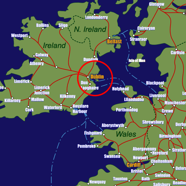 Field system in CunardField system · 107 yd
 Enclosure in CunardEnclosure · 126 yd
 Castlekelly Bridgebridge · 706 yd
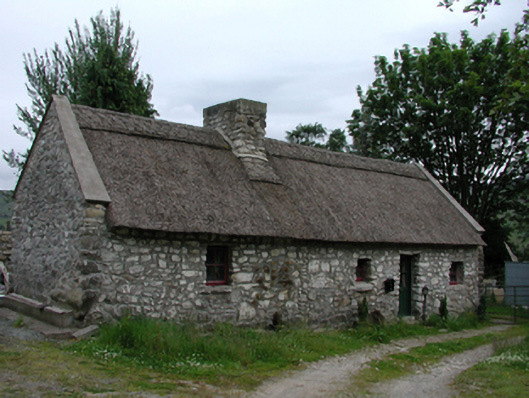 Glenasmole Cottagefarm house · 851 yd
 CastleCastle, unclassified · 931 yd
 Featherbed ForestForest · 1445 yd
 Killakee MountainMountain / peak · 1567 yd
 Saint Ann's GraveyardRuins · 1646 yd
 Saint Ann's WellSpring · 1655 yd
 Noel Lemass MemorialMemorial · 1.0 mi
 SpinkeenMountain / peak · 1.1 mi
 Dublin Mountains Way - Hellfire & Massey spurWalking route · 1.4 mi
Other information
Photo: Credit not shown in the picture search · Rights wording not checked; contact us if this picture should be removed