
What is recorded here
In grassland 150m E of a public road and 20m N of the townland boundary with Kilcolman. Depicted on the 1840 OS 6-inch map as a raised sub-circular shaped area defined by a scarp with the ruins of a rectangular building immediately to S. Monument depicted on the 1897 OS 25-inch map as a raised circular-shaped area…
Read the whole record
From the National Monuments Service (Archaeological Survey of Ireland) record LI012-046
Places near here
Photo credits
- National Inventory of Architectural Heritage
- Maker not stated on source page, www.patrickcomerford.com
- Maker not stated on source page, uk.pinterest.com
- Maker not stated on source page, commons.wikimedia.org
- Maker not stated on source page, www.pinterest.com
- Ballybrown GAA Club (official club website publisher); individual aerial photographer not named, ballybrowngaa.com
- Maker not stated on source page, www.irishmirror.ie
- Maker not stated on source page, narodnatribuna.info
 Cragbeg HouseCountry house · 687 yd
Explorer Tom Cragbeg House would describe the 1800s to a teenager as 'basic' because everyone was just standing around being fancy…
 Church in KiltemplanChurch · 968 yd
Explorer Tom Church in Kiltemplan would be the uncle at a wedding who drinks too much and tells stories. It’s locally known as…
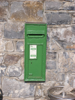 post box1483 yd
Explorer Tom Post box in Cloghatacka was saved by a hero nobody remembers, who probably just threw a bag of cement at a falling tree…
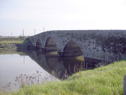 Ferry BridgeBridge · 1575 yd
Explorer Tom Ferry Bridge in Cloghatacka nearly became famous when the tides messed up the original arches, which is basically its…
 M. O'KellyHouse · 1636 yd
Explorer Tom M. O'Kelly in Cloghatacka is having a feud with the next village over who has the best bread. Its render fascia is…
 CastleCastle, unclassified · 1.0 mi
Explorer Tom Castle in Briska Beg suspects the postman of stealing its name and hiding it in the mailbox. It’s been watching every…
 Standing stone in Elmpark DemesneStanding stone · 1.0 mi
Explorer Tom Standing stone in Elmpark Demesne would be the awkward uncle at a wedding, standing there looking slightly confused and…
 Church in Elmpark DemesneChurch · 1.0 mi
Explorer Tom Church in Elmpark Demesne nearly got famous for being mistaken for a castle, which was a bit much. The actual location…
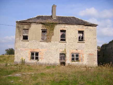 Faha HouseCountry house · 1.1 mi
Explorer Tom Faha House in Faha Demesne is mostly foundations now, which is very on-brand for modern relationships. A fox once took…
 Ballybrown GAA pitchGAA ground · 1.5 mi
 Páirc Antóin Ó Briain, PatrickswellGAA ground · 1.7 mi
 Stone head in Glebe (pubblebrien By., Clarina Ed)Stone head · 1.8 mi
Explorer Tom Stone head in Glebe is sticking its ears out of a church wall, looking absolutely confused by modern life. A goat once…
More archaeology and monuments in County Limerick · All of County Limerick

What do you know about this place?Tap to add a comment or ask a question