What is recorded here
Enclosure in Gearhanagoul is a circular hill pasture site in County Kerry, Ireland, where a stone bank and cut scarp still mark the edge of a small lived space. Its narrow entrance holds two upright slabs and a heavy horizontal stone, suggesting people shaped the hill rather than merely passing it. Nearby enclosures and a cooking site imply this was not a lonely marker but a neighbourhood of human activity. The exact days are lost, yet the shape preserves the fact that someone valued enough to build, return, and leave behind.
In rough hill pasture, on a S-facing slope, in the valley of the Coomeelan stream. A circular area (12.4m N-S; 12m E-W) defined by an earth and stone bank (Wth 2m; H 1.8m) NE-NW and by scarp that is cut (D 2.2m) into the upslope NW-NE. Traces of stone walling are visible on the internal bank face along the E, S and W arcs and on the external bank face along the S and SW arcs. There is an entrance (Wth 0.9m) at SE which is defined at the NE side by two contiguous upright stone slabs (max. H 1.35m; 0.4m x 0.55m). A horizontal stone (L 3.3m; Wth 0.6m; T 0.4m), lying across the entrance gap internally, is embedded in the bank at NE and rests on two stones at the SW. The horizontal stone is 0.7m above ground level. A partially collapsed drystone wall (on a N-S axis) in the level interior appears to be a recent addition. Another enclosure (KE102-041001-) abuts the SW arc of this enclosure. There is a possible boulder-burial (KE102-041002-) c. 5m to the E, another enclosure (KE102-041003-) c. 50m to the SW and a fulacht fia (KE102-041004-) c. 30m to the SSE.
The above description is derived from the published 'Archaeological Inventory of County Kerry. Volume I: South-West Kerry' (Dublin: Stationery Office, 2009). In certain instances the entries have been revised and updated in the light of recent research.
Date of upload: 30 May 2011
The monument record does not grant public access. Check the route and ask the landowner before entering private land.
- What survives
- Recorded monument
Places near here
 Megalithic structure in GearhanagoulMegalithic structure · 14 yd
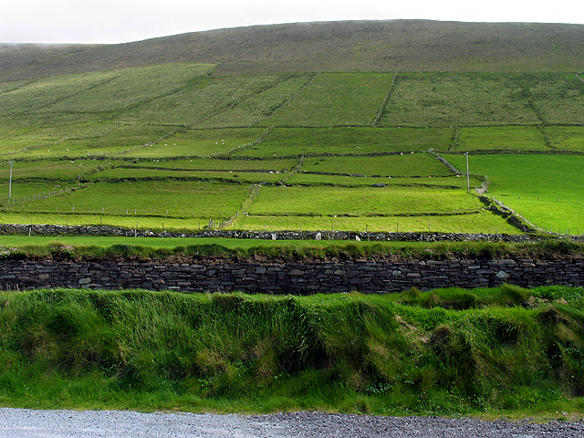 Field system in GearhanagoulField system · 230 yd
 DrehidoughteraghBridge · 688 yd
 KilnKiln, lime · 1176 yd
 The Priests LeapViewpoint · 1.3 mi
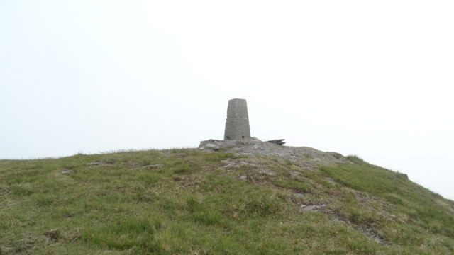 Knockboy North TopMountain / peak · 1.5 mi
 The Priest's LeapMountain / peak · 1.5 mi
 Bullaun StoneHeritage attraction · 2.0 mi
 Bonane Heritage ParkMuseum · 2.0 mi
 CaoinkeenCliff · 2.4 mi
 Tasmanian bluegumTasmanian bluegum · 4.8 mi
 Calf IslandIslet · 4.9 mi