What is recorded here
Within a field system (KE102-069----). An oval area (11.5m E-W; 8.2m N-S) defined by a collapsed drystone wall (T 0.7m; H 0.9m). The S portion of the level interior is raised (H 0.6m) and the N portion is cut (D 0.6m) into the upslope to compensate for the hillslope. Rubble spills downslope to the S.
The above description is derived from the published 'Archaeological Inventory of County Kerry. Volume I: South-West Kerry' (Dublin: Stationery Office, 2009). In certain instances the entries have been revised and updated in the light of recent research.
Date of upload: 30 May 2011
The monument record does not grant public access. Check the route and ask the landowner before entering private land.
- What survives
- Recorded monument
Places near here
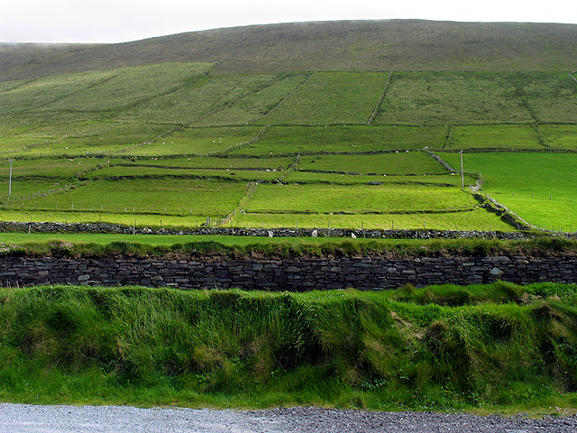 Field system in GearhanagoulField system · 181 yd
 Megalithic structure in GearhanagoulMegalithic structure · 235 yd
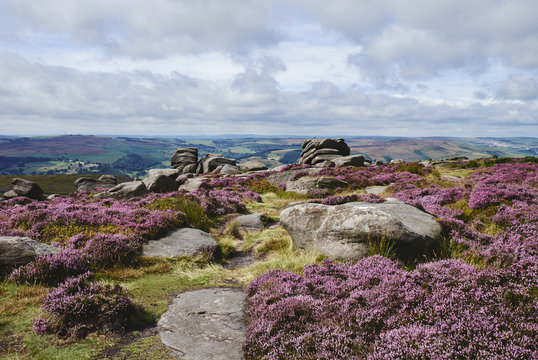 DrehidoughteraghBridge · 467 yd
 KilnKiln, lime · 1116 yd
 The Priests LeapViewpoint · 1.4 mi
 The Priest's LeapMountain / peak · 1.6 mi
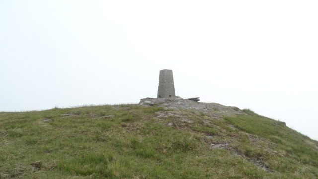 Knockboy North TopMountain / peak · 1.6 mi
 Bullaun StoneHeritage attraction · 1.9 mi
 Bonane Heritage ParkMuseum · 1.9 mi
 CaoinkeenCliff · 2.5 mi
 Tasmanian bluegumTasmanian bluegum · 4.7 mi
 Calf IslandIslet · 4.9 mi