
What is recorded here
Enclosure in Garryleagh is a lost rectangular chamber where a thick earthen bank and wide fosse still mark the south and east sides. Cattle traffic has worn the interior flat, yet the boundary remains visible in the SE corner of the field. The Galtee Mountains rise beyond the north-facing slope, giving the place a wide horizon and the feeling of a room opened to the sky.
In pasture, just off the crest of a rise, on a N-facing slope with views of the Galtee Mountains to the N. A substantial earthen bank (Wth 5.3m; int. H 1.5m; ext. H 1.8m) with an external wide flat-bottomed fosse (D 0.8; Wth at base 2m) forms the S (L 28m) and E sides (L 10m) of a possible subrectangular or square enclosure. The bank and fosse survive incorporated into the SE corner of a field boundary and are known locally at the remains of a 'lios'. The remainder of the field boundary at E has been levelled. The interior slopes gently down to the NW and is poached by cattle. Some undulations were noted in this area but they form no definite pattern. There is a rath (CO011-001----) c. 450m to the NNW.
The above description is derived from 'The Archaeological Inventory of County Cork. Volume 5' (Dublin: Stationery Office, 2009).
Date of upload: 22 December 2009
The monument record does not grant public access. Check the route and ask the landowner before entering private land.
- What survives
- Recorded monument
Places near here
 Cist in KilshannyCist · 1702 yd
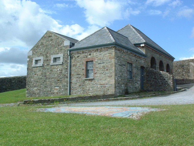 Ecclesiastical enclosure in KildrumEcclesiastical enclosure · 1.2 mi
 MillMill, unclassified · 1.3 mi
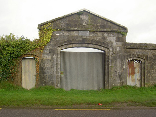 workhouseworkhouse · 1.4 mi
 Kilbeheny Castle (in ruins)Castle, tower house · 1.5 mi
 John MandevilleMemorial · 2.1 mi
 Mitchelstown Town MapVisitor information · 2.1 mi
 Statue of Saint FanahanMemorial · 2.2 mi
 White Knights Tower (Site of)Castle, unclassified · 2.4 mi
 Skeheen MountainMountain / peak · 2.8 mi
 Eagles StepCliff · 3.8 mi
 Combaun WoodsViewpoint · 3.8 mi
Other information
Photo: Credit not shown in the picture search · Rights wording not checked; contact us if this picture should be removed