What is recorded here
No visible trace remains at Garryleagh, though local memory still shapes the hidden fort. That missing form may be a clerical error or a transformed landscape. The absence does not erase the place; it redirects attention to the living region around it.
Permission to visit site refused. Inspection by OPW in 1972 recorded circular area (40m N-S; 39m E-W) enclosed by earthen bank with external fosse and small outer bank; causewayed entrance to E; interior sloping down to N. Described by Power (1932, 72) as a 'fine lios by the S. side of the main road near N.E. angle of Garryleagh townland' which 'one is attempted to equate' with 'Dun Droignein'.
The above description is derived from the published 'Archaeological Inventory of County Cork. Volume 4: North Cork' (Dublin: Stationery Office, 2000). In certain instances the entries have been revised and updated in the light of recent research.
Date of upload/revision: 14 January 2009
The monument record does not grant public access. Check the route and ask the landowner before entering private land.
- What survives
- Recorded monument
Places near here
 Enclosure in GarryleaghEnclosure · 488 yd
 Cist in KilshannyCist · 1.1 mi
 Kilbeheny Castle (in ruins)Castle, tower house · 1.2 mi
 Kilbeheny Church (in ruins)Church · 1.3 mi
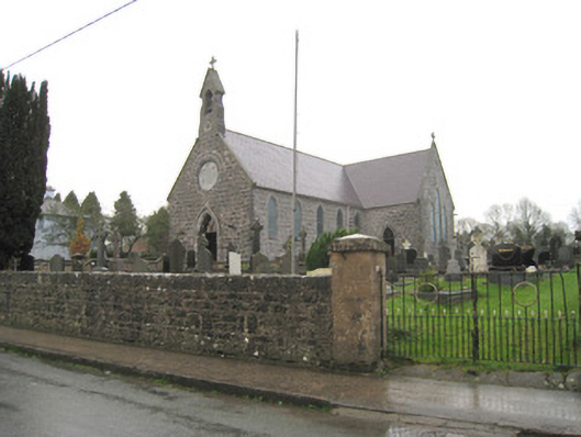 Saint Joseph's Catholic Churchchurch/chapel · 1.3 mi
 John MandevilleMemorial · 2.1 mi
 Mitchelstown Town MapVisitor information · 2.1 mi
 Statue of Saint FanahanMemorial · 2.2 mi
 White Knights Tower (Site of)Castle, unclassified · 2.4 mi
 Skeheen MountainMountain / peak · 3.1 mi
 Eagles StepCliff · 3.5 mi
 Combaun WoodsViewpoint · 3.5 mi