What is recorded here
Situated on flat pasture with good views in all directions. Depicted as a circular enclosure on the 1843 ed. OS 6-inch map and as a rectangular earthwork on the 1903 ed. Ploughed out since 1954 (Barry 1977, 201). Not visible at ground level.
The above description is derived from 'The Archaeological Inventory of County Tipperary. Vol. 1 - North Tipperary' compiled by Jean Farrelly and Caimin O'Brien (Dublin: Stationery Office, 2002). In certain instances the entries have been revised and updated in the light of recent research.
Date of upload/revision: 22 September 2008
The monument record does not grant public access. Check the route and ask the landowner before entering private land.
- What survives
- Recorded monument
Places near here
 Derrinvohil Househouse · 1443 yd
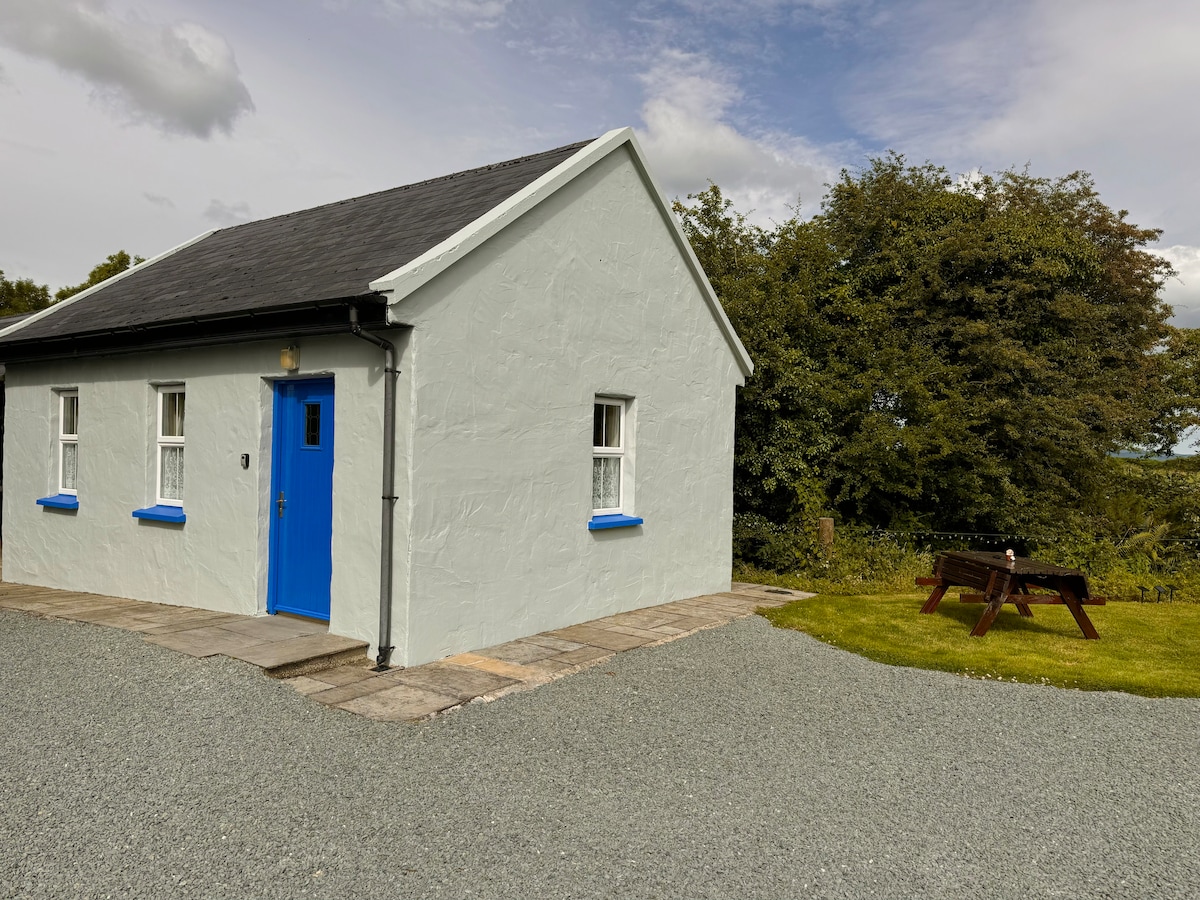 Enclosure in Rathmore (borrisokane Par.)Enclosure · 1484 yd
 Enclosure in Rathmore (borrisokane Par.),tombrickaneEnclosure · 1.0 mi
 Borris WoodWood · 1.1 mi
 Water millWater mill, unclassified · 1.2 mi
 Tombrickan CastleCastle · 1.6 mi
 Ballyfinboy Castle (in Ruins)Castle, tower house · 2.3 mi
 Slevoir BayBay · 3.8 mi
 Grassy IslandIslet · 4.8 mi
 Roger's IslandIslet · 4.8 mi
 Black mulberryBlack mulberry · 5.3 mi
 Portumna Castlegate lodge · 5.6 mi