What is recorded here
On generally level ground, in an otherwise gently undulating landscape, in pasture. A circular area (22m N-S; 23m E-W) defined by the remains of an earthen and stone bank (int. H 0.9m; ext. H 0.5m; Wth at top 1.2m; overall Wth 6.45m) SSW-SE, which has been partially levelled out SE-SSW. Thorn trees grow around the top of the bank intermittently. There is no obvious trace of an entrance or an outer fosse. The interior is generally clear and has a slight tilt downslope to SW. Loose stones situated around the perimeter of the interior are probably derived from bank slippage. The monument is situated within the SE corner of a field whereby a thorn tree hedgerow has been planted abutting the base of the bank to ESE and SSW.
The following images have been uploaded:
CL035-023----_01.jpg From W. General view of monument.
CL035-023----_02.jpg From N. General view of monument.
CL035-023----_03.jpg From SW. Cross sectional view of bank at NW.
Compiled by: Mary Tunney, Alison McQueen and Vera Rahilly
Date of upload: 11 April 2018
The monument record does not grant public access. Check the route and ask the landowner before entering private land.
- What survives
- Recorded monument
Places near here
 Enclosure in Cloghaun (tulla Upper By.)Enclosure · 820 yd
 IndicatedCastle, tower house · 910 yd
 Enclosure in GarruraghEnclosure · 1062 yd
 St Mochullas Ch (in RuinsChurch · 1118 yd
 Tulla Castle (Site of)Castle, unclassified · 1138 yd
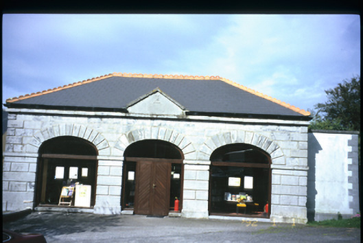 Tulla Librarymarket house · 1256 yd
 The StablesGallery · 1704 yd
 Cloghleagh RockNamed rock · 3.6 mi
 The RingfortHeritage attraction · 4.7 mi
 Deerpark WoodForest · 5.4 mi
 Calluragh WoodForest · 5.9 mi
 Grave YardGraveyard · 1117 yd