What is recorded here
Cropmark of circular-shaped enclosure (approx. diam. 50m) visible on Digital Globe aerial photograph.
See attached image of Google Earth photograph taken 28/06/2018 which shows cropmark of the enclosure based on information supplied by Anthony Murphy
Compiled by: Caimin O'Brien based on details kindly provided by Anthony Murphy
Date of upload: 20 February 2019
The monument record does not grant public access. Check the route and ask the landowner before entering private land.
- What survives
- Recorded monument
Places near here
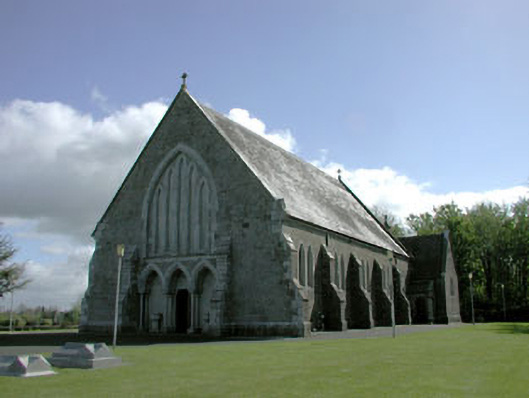 Saint Mary's Catholic Churchchurch/chapel · 717 yd
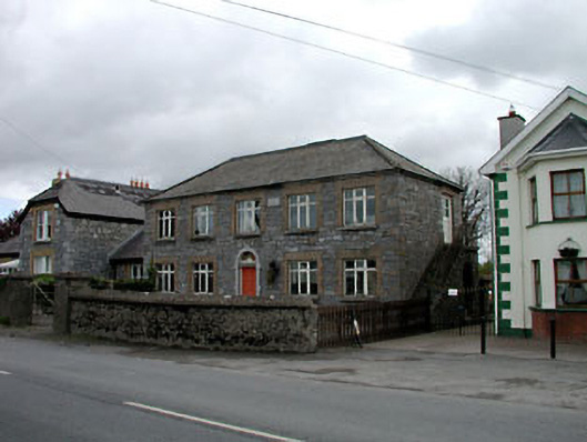 Broadford Schoolschool · 1248 yd
 Site of Balrinnet CastleCastle, unclassified · 1.5 mi
 Site of ChapelChurch · 1.6 mi
 Ecclesiastical enclosure in KilrainyEcclesiastical enclosure · 1.6 mi
 Croppies' GraveMemorial · 2.0 mi
 Site of CastleCastle, unclassified · 2.3 mi
 Buggan's WoodWood · 2.7 mi
 Bog WoodsWood · 2.8 mi
 The Grill ShackHeritage attraction · 8.4 mi
 Arthur GuinessMemorial · 19 mi
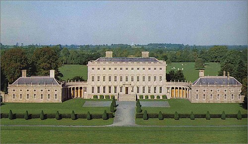 Castletown HouseHeritage attraction · 19 mi