
What is recorded here
In tillage. An oval enclosure (dims. c. 63m NW-SE; c. 50m NE-SW), defined by a wide fosse (Wth c. 3m) which is visible as a cropmark on satellite imagery (Apple Maps satellite imagery), identified and reported by Jean-Charles Caillère.
See attached imagery:
KK019-147----_01 Apple maps satellite imagery
Compiled by: Jean Farrelly
Date of upload: 14 June 2023
A local fairy fort (ringfort/rath); wider significance not recorded.
The monument record does not grant public access. Check the route and ask the landowner before entering private land.
- What survives
- Recorded monument
Places near here
 Church (in ruins)Church · 311 yd
 Hebron Housegates/railings/walls · 361 yd
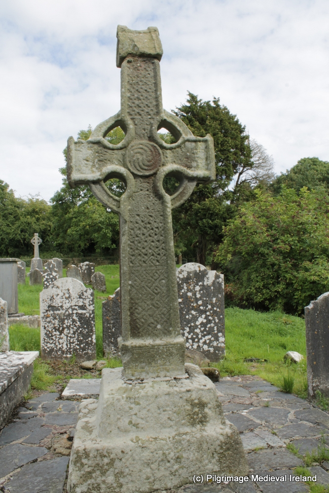 CrossCross, High cross (present location) · 784 yd
 J. TobinMemorial · 1369 yd
 Enclosure in Leggetsrath EastEnclosure · 1430 yd
 Saint Molagga's WellSpring · 1661 yd
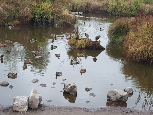 Newpark Marsh ParkNature reserve · 1675 yd
 KilkennyVisitor information · 1728 yd
 Graveyard in Gardens (kilkenny City By., St. John's Par.)Graveyard · 1.0 mi
 Jurassic NewparkHeritage attraction · 1.0 mi
 Stephens Barracks MuseumMuseum · 1.0 mi
 Kilkenny County Council Car ParkVisitor information · 1.1 mi
Other information
Photo: Credit not shown in the picture search · Rights wording not checked; contact us if this picture should be removed