What is recorded here
In pasture, on a very gentle E-facing slope. Enclosure not marked on either 1843 or latest edition OS 6-inch maps but was identified as a roughly circular cropmark on aerial photograph (GSI S.655/654 16 April 1974). Buffer zone maintained around monument as area to E and N recently planted with forestry saplings. Road (TS069-082----) located c. 75m to S. Not visible above ground level.
Compiled by: Jean Farrelly
Date of upload: 26 August 2011
The monument record does not grant public access. Check the route and ask the landowner before entering private land.
- What survives
- Recorded monument
Places near here
 IndicatedRoad, road/trackway · 100 yd
 Enclosure in Moorstown (mora Par.)Enclosure · 973 yd
 St. Nicholas WellHoly well · 1574 yd
 Mora Church (in ruins)Church · 1616 yd
 Rathdrum Castle (in ruins)Castle, tower house · 1.3 mi
 BatteryBawn · 1.4 mi
 European YewEuropean Yew · 2.9 mi
 East GateMemorial · 3.0 mi
 Grove WoodForest · 3.1 mi
 Kilknockan HillMountain / peak · 3.7 mi
 Enclosure in Colman (hennessy)Enclosure · 1667 yd
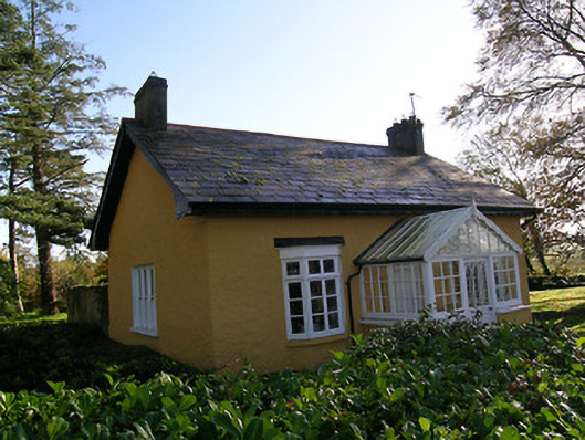 Tullamain Castlegate lodge · 1679 yd