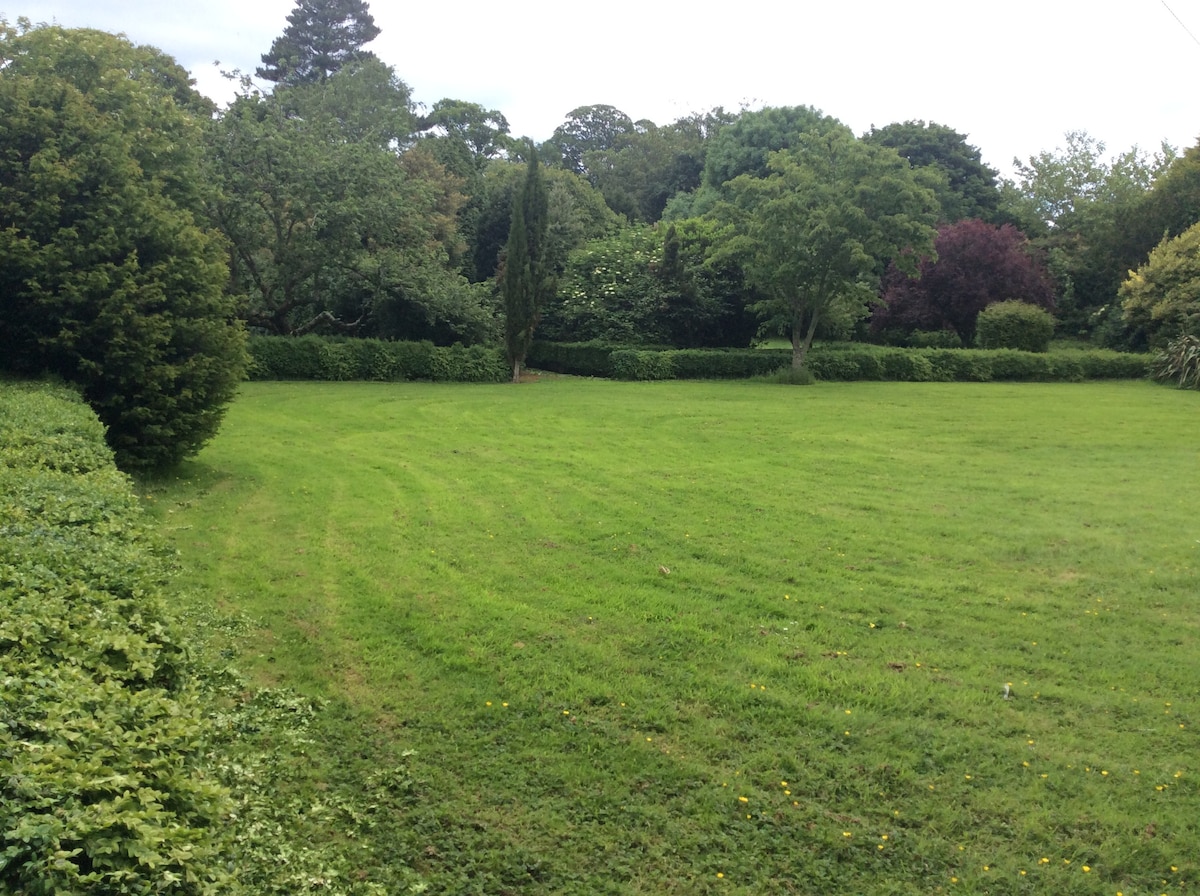
What is recorded here
Circular-shaped cropmark visible on Apple Maps orthoimage.
See attached image taken from Apple Maps
Compiled by: Caimin O'Brien based on details provided by Jean-Charles Caillère
Date of upload: 10 November 2021
The monument record does not grant public access. Check the route and ask the landowner before entering private land.
- What survives
- Recorded monument
Places near here
 White HartInn · 192 yd
 ‘Pigeon Ho.’Windmill · 266 yd
 Corn MillWater mill, unclassified · 355 yd
 Castle (remains of)Castle, tower house · 661 yd
 Lady WellHoly well · 667 yd
 Balrothery Heritage CentreMuseum · 1255 yd
 Balrothery TowerCastle · 1258 yd
 Barn WoodWood · 1336 yd
 Balbriggan Tourist OfficeVisitor information · 1490 yd
 Flat cemetery in DarcystownFlat cemetery · 1598 yd
 Wavin LakesNature reserve · 1746 yd
 Clonard SpringSpring · 1.3 mi
Other information
Photo: Credit not shown in the picture search · Rights wording not checked; contact us if this picture should be removed