What is recorded here
This circular enclosure is clearly marked on the 1841-42 map. Although it appears on the later edition map, it is somewhat distorted. It is very difficult to distinguish this enclosure today, as it is sited within an undulating field.
The above description is derived from C. Toal, ‘North Kerry Archaeological Survey’. Dingle. Brandon in association with FAS Training and Employment Authority (1995), no. 1074. In certain instances the entries have been revised and updated in the light of recent research.
Date of upload: 3 August 2013
The monument record does not grant public access. Check the route and ask the landowner before entering private land.
- What survives
- Recorded monument
Places near here
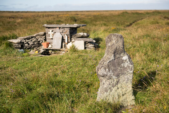 Holy well in Beheens WestHoly well · 1.2 mi
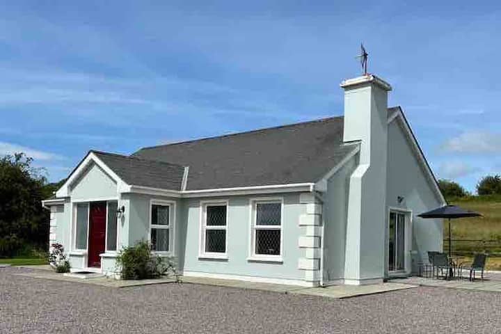 Enclosure in BallyduhigEnclosure · 1.5 mi
 Billeragh Househouse · 2.0 mi
 Listowel Bridgebridge · 2.2 mi
 John B. KeaneMemorial · 2.3 mi
 Holocaust MemorialMemorial · 2.3 mi
 Listowel Castle (in ruins)Castle, tower house · 2.5 mi
 CastleCastle, tower house · 2.5 mi
 Kerry Writers' MuseumMuseum · 2.5 mi
 Lartigue MonorailMuseum · 2.8 mi
 Stack's MountainMountain / peak · 8.0 mi
 Kilflynn Nature ReserveNature reserve · 8.1 mi