What is recorded here
Situated in a slight col on an ENE-WSW ridge. This is a D-shaped area (dims. c. 40m NW-SE; c. 40m NE-SW) with the straight side at NE. It is defined by a fosse with elements of a field system attached and is visible as a cropmark on aerial photographs (MM (47) 10-13; (60) 31-3; WA027-080_1A to _7A).
The above description is derived from the published 'Archaeological Inventory of County Waterford' (Dublin: Stationery Office, 1999). In certain instances the entries have been revised and updated in the light of recent research.
Compiled by: Michael Moore
Date of upload/revision: 10 June 2011
A local fairy fort (ringfort/rath); wider significance not recorded.
The monument record does not grant public access. Check the route and ask the landowner before entering private land.
- What survives
- Recorded monument
Places near here
 Field system in FornaghtField system · 63 yd
 Island Viewgates/railings/walls · 381 yd
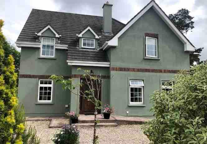 Habitation site in FornaghtHabitation site · 562 yd
 Fairy Bush Forenaught LoopWalking route · 698 yd
 Fornaght StrandBeach / strand · 1180 yd
 Knockavelish HeadHeadland · 1215 yd
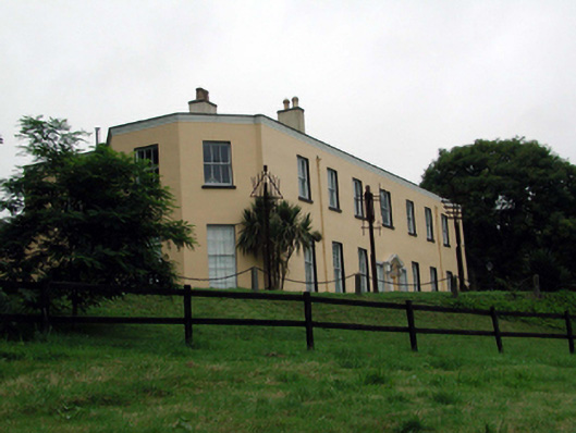 Ballyglan Housecountry house · 1269 yd
 Fairy Bush LoopWalking route · 1273 yd
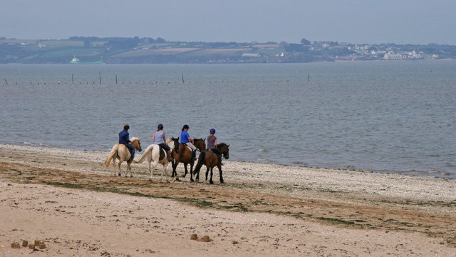 Woodstown StrandBeach / strand · 1.3 mi
 Castle in ruinsCastle, Anglo-Norman masonry castle · 1.8 mi
 Newtown HeadHeadland · 2.1 mi
 Lost at Sea Memorial WallMemorial · 2.2 mi