What is recorded here
On a gentle SE-facing slope in pasture. Not marked on the 1837 ed. of the OS 6-inch map. A report in 1975 (SMR file) recorded a raised subrectangular area (c. 42m NW-SE; c. 25m NE-SW) enclosed by a low bank of earth and stone with a shallow external fosse. The original entrance was not recognisable. The monument is not visible at ground level.
Compiled by: Patrick F. O'Donovan
Date of upload: 26 August 2011
This monument is subject to a preservation order made under the National Monuments Acts 1930 to 2014 (PO no. 4/1985).
The monument record does not grant public access. Check the route and ask the landowner before entering private land.
- What survives
- Recorded monument
Places near here
 Holy well in FeraghfadHoly well · 607 yd
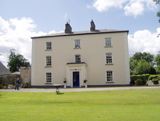 Viewmount Househouse · 1594 yd
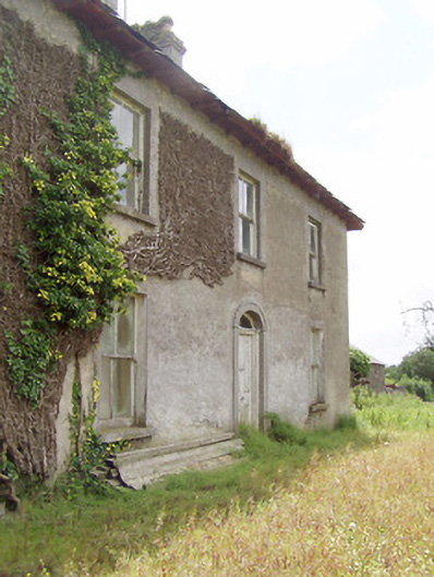 Cooleeny Househouse · 1628 yd
 BarrowBarrow, unclassified · 1.1 mi
 Saint Mel's CathedralCathedral · 1.9 mi
 First World War MemorialMemorial · 1.9 mi
 CastleCastle, Anglo-Norman masonry castle · 1.9 mi
 Bawn in LissardowlanBawn · 1.9 mi
 Graveyard in Curry (ardagh By., Coolamber Ed)Graveyard · 2.8 mi
 Commons North WalkVisitor information · 9.7 mi
 Wild birdsVisitor information · 9.9 mi
 White Sand WoodWood · 10 mi