
What is recorded here
On a W-facing slope. An area of abut 25 acres (c. 10 ha) contains a complex of old field walls and enclosures visible on aerial photographs (CUCAP: K17, W17). The area is now reduced to about 2.5 ha (c. 6 acres) of rough pasture. In the surviving area there is a small D-shaped enclosure (int. dims 8m NW-SE; 5m-8m NE-SW) with the foundations of a hut-site (RO050-041003-) 14m to the NE.
Compiled by: Michael Moore
Date of upload: 24 August 2010
The monument record does not grant public access. Check the route and ask the landowner before entering private land.
- What survives
- Recorded monument
Places near here
 IndicatedEnclosure · 1585 yd
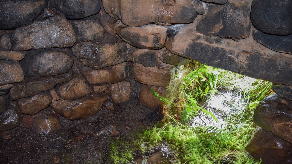 Sweathouse in ArdcolmanSweathouse · 1.2 mi
 Country house in DalysgroveCountry house · 1.8 mi
 Daly's Groveoutbuilding · 1.8 mi
 Killeglan CastleCastle, unclassified · 2.1 mi
 CastleCastle, unclassified · 2.4 mi
 Inch IslandIsland · 2.6 mi
 Sheep HillMountain / peak · 2.9 mi
 LismoneyForest · 3.4 mi
 Clooncoran IslandIsland · 3.5 mi
 European ashEuropean ash · 5.7 mi
 Urraghry HillMountain / peak · 9.0 mi
Other information
Photo: Credit not shown in the picture search · Rights wording not checked; contact us if this picture should be removed