What is recorded here
Half a metre of earth, a slope inside, a burial ground in the overgrown south. That is all the enclosure keeps. It is not a stage for grand claims or a gap for invention. What is known must fit what is written, and what is missing must stay missing.
Oval enclosure, (20m E-W; 25m N-S) possibly enlarged to S from originally circular enclosure; eroded bank (max. H 0.80m) W->NE. Scarp NE->W (max. H 1.1m). N half interior slopes to S; S half level, more overgrown. Burial ground (CO149-010----) in S half.
The above description is derived from the published 'Archaeological Inventory of County Cork. Volume 1: West Cork' (Dublin: Stationery Office, 1992). In certain instances the entries have been revised and updated in the light of recent research.
Date of upload/revision: 14 January 2009
The monument record does not grant public access. Check the route and ask the landowner before entering private land.
- What survives
- Recorded monument
Places near here
 Childrens Burial GdBurial ground · 1 yd
 Children's burial ground in Ardagh (carbery West (e.d.) By., Aghadown Par.)Children's burial ground · 800 yd
 KilnKiln, lime · 816 yd
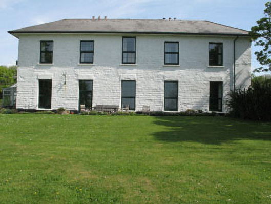 White Hallhome farm · 876 yd
 Rincolisky CastleCastle · 1202 yd
 Rincolisky Castle (in Ruins)Castle, tower house · 1205 yd
 Jeremiah's IslandIslet · 1.1 mi
 AghillaunIslet · 1.1 mi
 Trá na gCruachBeach / strand · 1.5 mi
 Main BeachBeach / strand · 1.5 mi
 Cuaisín na nÚbhallBay · 1.7 mi
 Tobar Chuas an UisceSpring · 1.7 mi