What is recorded here
In level pasture, 300m E of townland boundary with Bawncouma, an enclosure (LI022-033----) lies 172m to SW. No surface remains visible. Depicted on the 1840 OS 6-inch map as a sub-circular shaped area defined by a scarp. Site inspection by ASI in 2000 and described as no surface remains visible. Monument is not visible on Google Earth orthoimagery.
See attached Google Earth orthoimage
Compiled by: Fiona Rooney
Date of upload: 28 July 2020
The monument record does not grant public access. Check the route and ask the landowner before entering private land.
- What survives
- Recorded monument
Places near here
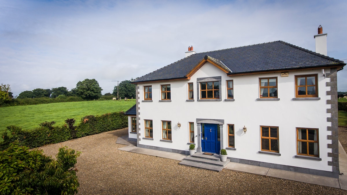 Enclosure in Fanningstown (smallcounty By.)Enclosure · 394 yd
 Partially indicatedBawn · 531 yd
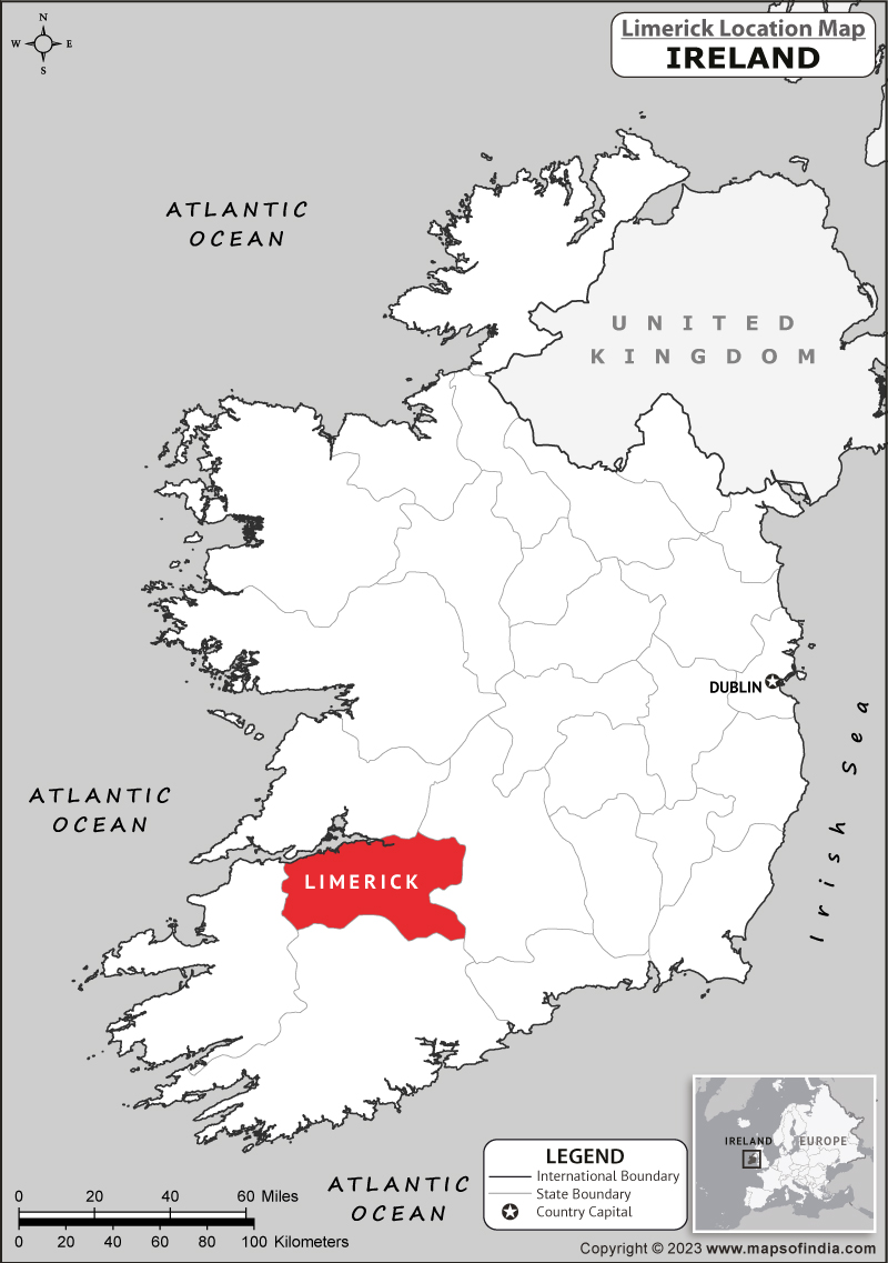 Partially hachuredEnclosure · 860 yd
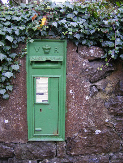 post boxpost box · 929 yd
 Quarry in Friarstown NorthQuarry · 1314 yd
 CastleCastle, ringwork · 1462 yd
 Villiers WellSpring · 1.0 mi
 Carnane RockNamed rock · 1.3 mi
 ToberauillinSpring · 1.9 mi
 Monasteranenagh AbbeyHeritage attraction · 4.8 mi
 Biodiversity in the Maigue CatchmentVisitor information · 5.8 mi
 European ashEuropean ash · 6.0 mi