
What is recorded here
Located in a relatively level location (c. 101m OD) in a gently undulating landscape now characterised by tillage and pastoral farming. Sited towards the SE boundary of a field currently in use for tillage purposes (Apple Maps; accessed July 2023) with E end of the enclosure partially truncated by a later field boundary. Located c. 1.9kms ENE of the remains of a church (LA025-010----), set in a graveyard (LA025-010001-), at Corbally, and c. 1.43kms WNW of another church site (LA026-003----), at Rahin, to the NW periphery of the village of Ballylynan. This enclosure is faintly visible as a cropmark on Apple Maps (accessed July 2023) imagery of the area. It consists of a circular feature (est. ext. dims c. 35m N-S x 33m E-W) that is defined by a ditch (est. Wth c. 1-1.5m) of which only approximately the W half of the arc is visible on the above imagery. The very E end of the enclosure is\was truncated by the field boundary adjacent to the E, and this end of the possible enclosure may survive in the field adjacent to the E (not visible on available imagery). No definitive evidence for an entrance gap.
Compiled by: T.J. O'Meara based on details provided by Jean-Charles Caillère
Uploaded on: 13/07/2023
See attached:
LA025-070----_01 Apple Maps imagery (accessed July 2023)
The monument record does not grant public access. Check the route and ask the landowner before entering private land.
- What survives
- Recorded monument
Places near here
 Enclosure in RahinEnclosure · 412 yd
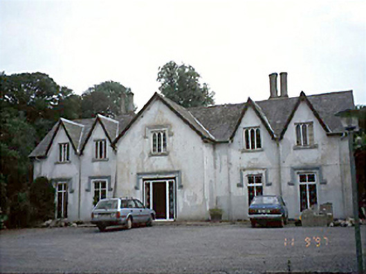 Ballyadams Househouse · 1290 yd
 Bawn in BallyadamsBawn · 1402 yd
 Grave YardGraveyard · 1413 yd
 Ballyadams CastleCastle · 1413 yd
 Ballyadams Church (in Ruins)Church · 1430 yd
 DM PenderMemorial · 2.4 mi
 Brackney WoodForest · 3.4 mi
 Cobbler's Castle WalkWalking route · 4.1 mi
 Mass Rock WalkWalking route · 4.1 mi
 Pedunculate OakPedunculate Oak · 4.1 mi
 Ernest ShackletonMemorial · 4.2 mi
Other information
Photo: Credit not shown in the picture search · Rights wording not checked; contact us if this picture should be removed