What is recorded here
Enclosure in Ennistown (ratoath By.) was a D-shaped embanked fort on a low ridge when first mapped in 1836, with a quarry pit inside and boundaries touching Mullinam. By the 1960s its north and west edges had been removed, and bones were said to have been found during the digging. A house now stands where the fort once held its shape, leaving only the memory of a place that kept its own secrets before giving them up.
Located on a low NW-SE ridge. This monument is depicted as a D-shaped embanked enclosure backing onto the townland boundary with Mullinam at E and S, and with an internal oval quarry pit on the 1836 edition of the OS 6-inch map where it is described as a ‘Fort’. It is represented as a D-shaped hachured feature backing onto the townland boundary on the 1908 edition. The N and W boundaries were removed in the 1960s when bones were said to have been found. It was described in 1969 (SMR file) as a subrectangular area (dims c. 73m NW-SE; c. 30m NE-SW) that was stony at its N edge. A house had been built on it by 1995 (OSIAP).
The above description is derived from the published 'Archaeological Inventory of County Meath' (Dublin: Stationery Office, 1987). In certain instances the entries have been revised and updated in the light of recent research.
Compiled by: Michael Moore
Date of upload: 10 July 2007
Amended: 22 November 2021
The monument record does not grant public access. Check the route and ask the landowner before entering private land.
- What survives
- Recorded monument
Places near here
 Font in RathbegganFont · 1.2 mi
 CastleCastle, motte · 1.3 mi
 EnclosureEnclosure, large enclosure · 1.5 mi
 Caulstown Christmas Tree FarmForest · 1.9 mi
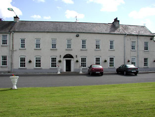 Ratoath Manorcountry house · 2.4 mi
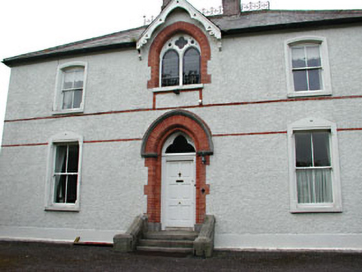 Holy Trinity Catholic Churchpresbytery/parochial/curate's house · 2.4 mi
 Site of Old CastleCastle, unclassified · 2.7 mi
 Wesley's WoodsWood · 2.9 mi
 Lismahon 1798 MemorialMonument · 3.3 mi
 AshbourneMemorial · 3.8 mi
 Hanwood GardensHeritage attraction · 4.6 mi
 Ash HillMountain / peak · 5.1 mi