
What is recorded here
Situated in a fairly level landscape just W of Rathbeggan House. This is an oval flat-topped mound (dim. of base 25m NW-SE; dims of top 14m N-S; 11m E-W; H 2.6-3.5m) covered in trees, and with traces of a wide fosse (Wth of top 13m; Wth of base 3m; ext. D 0.2m) at ESE. The parish church of Rathbegan (ME044-030----) is c. 100m to the ESE.
The above description is derived from the published 'Archaeological Inventory of County Meath' (Dublin: Stationery Office, 1987). In certain instances the entries have been revised and updated in the light of recent research.
Date of upload: 10 July 2007
Amended: 22 November 2021
The monument record does not grant public access. Check the route and ask the landowner before entering private land.
- What survives
- Recorded monument
Places near here
 Font in RathbegganFont · 115 yd
 EnclosureEnclosure, large enclosure · 1.3 mi
 Site of Old CastleCastle, unclassified · 1.5 mi
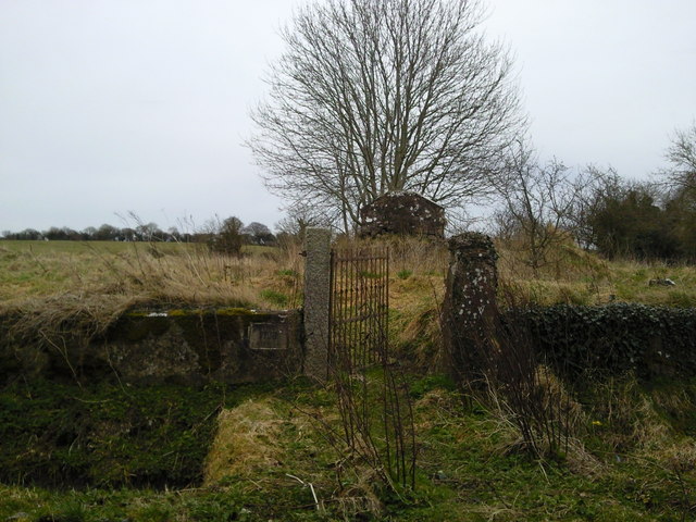 RuinChurch · 1.8 mi
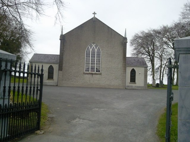 Catholic Church of the Assumptionchurch/chapel · 1.8 mi
 Lismahon 1798 MemorialMonument · 2.2 mi
 Caulstown Christmas Tree FarmForest · 2.5 mi
 Wesley's WoodsWood · 3.7 mi
 Hanwood GardensHeritage attraction · 3.7 mi
 Ash HillMountain / peak · 4.1 mi
 Kilbride MoatCastle, motte · 4.2 mi
 Saint Oliver Plunkett 1625-1681Memorial · 4.3 mi
Other information
Photo: Credit not shown in the picture search · Rights wording not checked; contact us if this picture should be removed