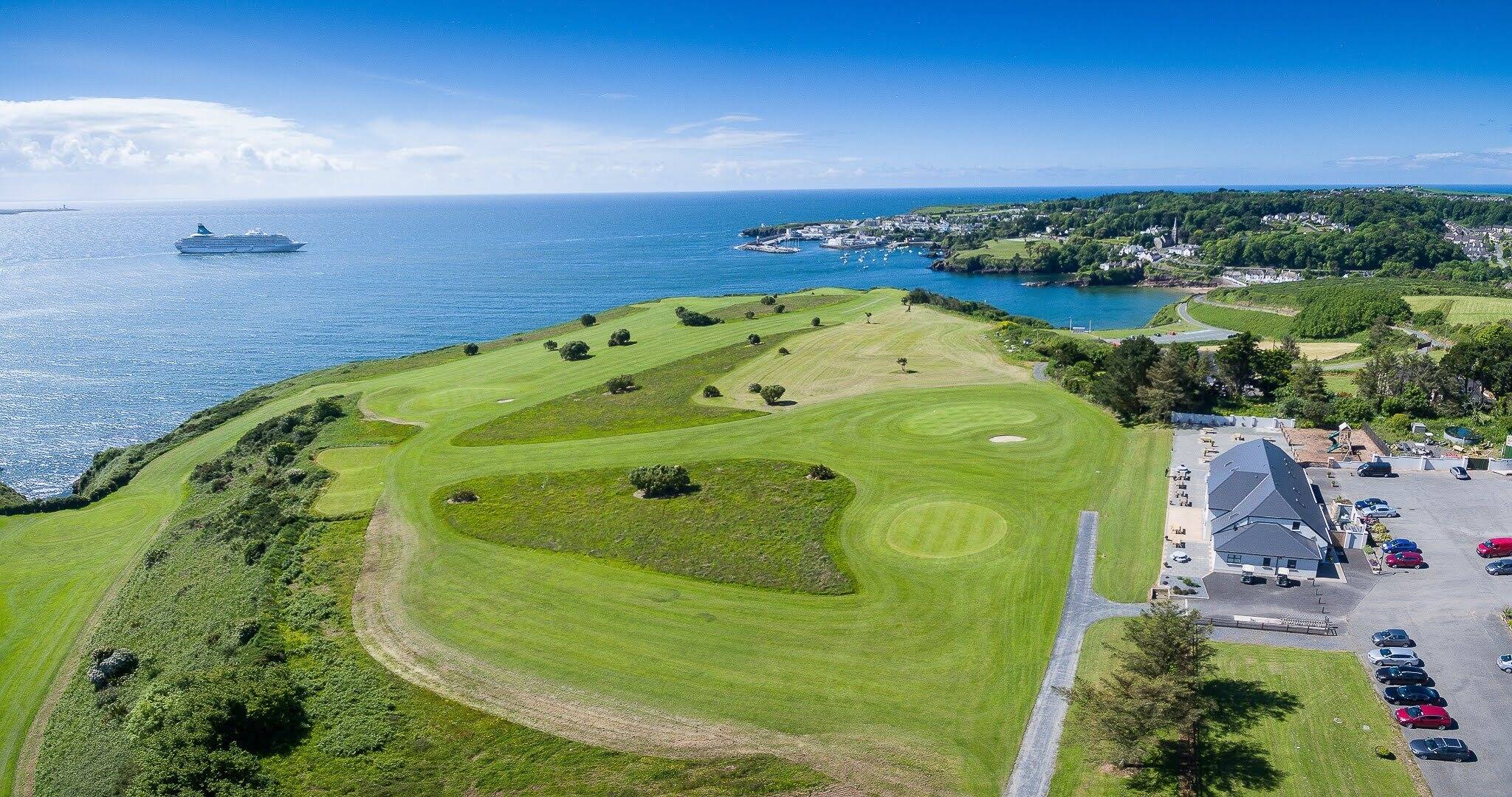
What is recorded here
On a break of slope between the valley plateau and a gentle slope down to the Dinin river which flows c. 320m to the NW, in rolling grassland. A large portion of the enclosure lies within a plot of land adjoining a house. There are good views to from NW-W-SW across the valley and fair from NE-E-SE. A roughly rectangular enclosure (dims. c. 40m NW-SE; c. 25m NE-SW) indicated on the 1st (1839) ed. OS 6-inch map and not depicted on the 1946-7 revision, suggesting the monument was levelled between these dates. The enclosure is not visible at ground level.
Compiled by: Jean Farrelly
Date of upload: 2 June 2020
The monument record does not grant public access. Check the route and ask the landowner before entering private land.
- What survives
- Recorded monument
Places near here
 Ballyrafton Woodgates/railings/walls · 386 yd
 Tower Bridgebridge · 480 yd
 Enclosure in Kirwan's InchEnclosure · 905 yd
 Trinity WellSpring · 1060 yd
 Jenkinstown ParkForest · 1074 yd
 Dunmore CoverEnclosure, large enclosure · 1085 yd
 Saint Coleman's WellSpring · 1.3 mi
 Long WoodWood · 1.4 mi
 Ardaloo Castle (in ruins)Castle, unclassified · 1.4 mi
 Mohil GraveyardArchaeological place · 1.4 mi
 The RockCastle, ringwork · 1.5 mi
 Dunmore CavesCave · 1.6 mi
Other information
Photo: Credit not shown in the picture search · Rights wording not checked; contact us if this picture should be removed