What is recorded here
On a broad flat terrace of the low hills to the E of the Nore river valley, in rolling grassland. There are fair to good views in all directions. Indicated as a large roughly circular (diam. c. 190m) enclosure from E-S-N called 'Dunmore Cover' on the 1st (1839) ed. OS 6-inch map, with Dunmore House in the edge of the N quadrant. The curvilinear enclosure is not evident in the NE quadrant where straight field boundaries encroach around the edge. The SW edge of the enclosure is retained in a field boundary but elsewhere the monument has been levelled. The SE edge is visible as a cropmark on satellite imagery (Google Earth, 6 June 2018). According to the landowner when this field was ploughed a wide stoney curvilinear spread (L. c. 160m) could be seen, presumably the remnants of the former bank. The enclosure functioned as a 'cover', an area set aside for game, in 1839, however, the cover may have been utilising an existing earlier enclosure. Within the SE quadrant another curvilinear enclosure (KK014-159----), (diam. c. 70m) which is faintly visible as a cropmark on the satellite imagery (Google Earth, 6 June 2018). This latter enclosure may not be contemporary with the outer enclosure.
See attached Google Earth image (imagery date 6 June 2018)
Compiled by: Jean Farrelly
Date of revised upload: 27 June 2023
The monument record does not grant public access. Check the route and ask the landowner before entering private land.
- What survives
- Recorded monument
Places near here
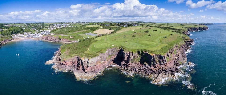 Enclosure in Dunmore EastEnclosure · 263 yd
 Enclosure in Dunmore ParkEnclosure · 929 yd
 Long WoodWood · 1348 yd
 Ballyrafton Woodgates/railings/walls · 1436 yd
 CastleCastle, unclassified · 1516 yd
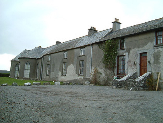 Dunmore Cottagehouse · 1533 yd
 Rock WoodWood · 1648 yd
 Trinity WellSpring · 1.1 mi
 The RockCastle, ringwork · 1.5 mi
 Mohil GraveyardArchaeological place · 1.8 mi
 Dunmore CavesCave · 1.9 mi
 Cave of DunmoreCave · 1.9 mi
Other information
Photo: Credit not shown in the picture search · Rights wording not checked; contact us if this picture should be removed