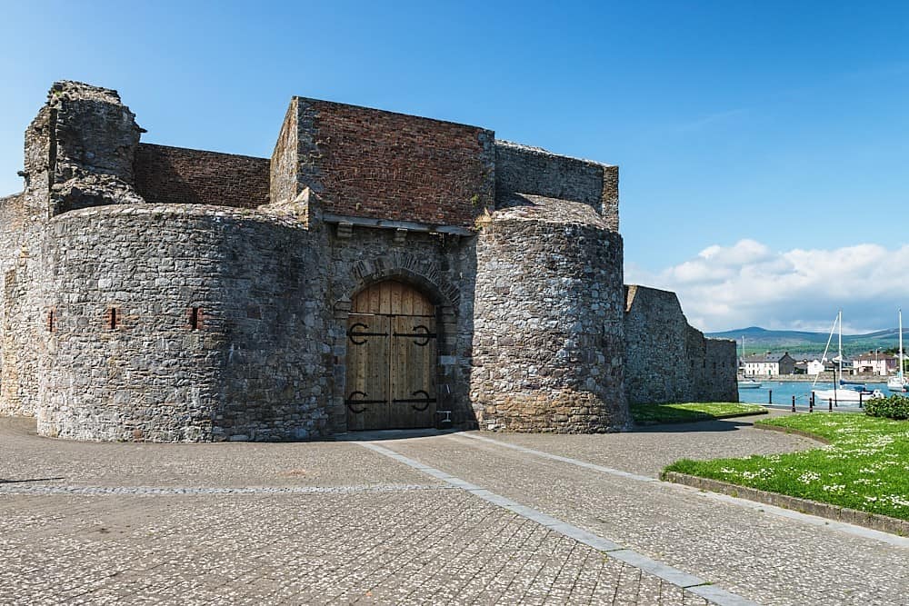
What is recorded here
Within a relatively small forestry plantation with a long narrow pond (L c. 155m; max. Wth c. 12m) c. 10m to the NE. A townland boundary runs E-W immediately N of the enclosure. Indicated on the 1st (1839) ed. OS 6-inch map as a circular enclosure (diam. c. 48m), though the perimeter from SW-W-NNW is not shown. It is not indicated on the 1899-1902 revision of the OS 6-inch map. Two enclosures (KK024-054---- and KK024-055----) are located c. 130m to the NE.
Compiled by: Jean Farrelly
Date of upload: 29 September 2021
The monument record does not grant public access. Check the route and ask the landowner before entering private land.
- What survives
- Recorded monument
Places near here
 Enclosure in Dungarvan (gowran By., Bennettsbridge Ed)Enclosure · 394 yd
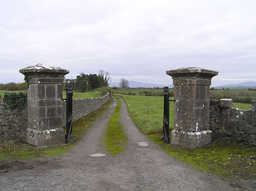 gates/railings/wallsgates/railings/walls · 508 yd
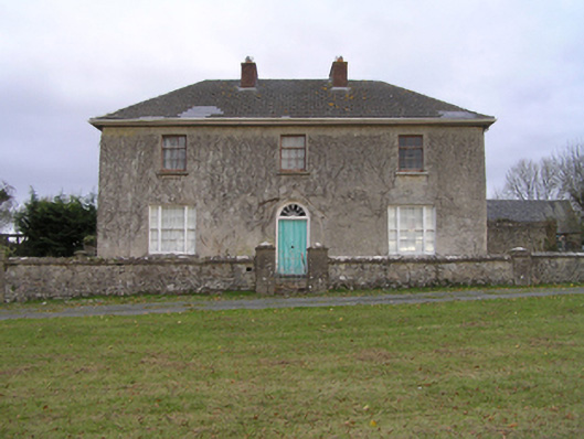 rectory/glebe/vicarage/curate's houserectory/glebe/vicarage/curate's house · 577 yd
 Concentric enclosure in Scart (gowran By., Bramblestown Ed)Concentric enclosure · 728 yd
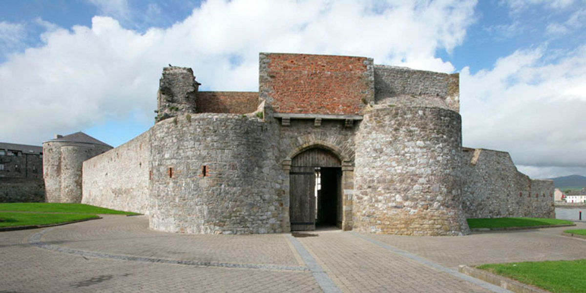 Site of Dungarvan CastleCastle, tower house · 1085 yd
 Red BogForest · 1145 yd
 CastleCastle, motte · 1271 yd
 BogForest · 1.6 mi
 Tullaherin Church and Round TowerVisitor information · 2.2 mi
 Stroan FountainVisitor information · 2.6 mi
 Kilbline GraveyardArchaeological place · 3.3 mi
 Time CapsuleMemorial · 4.3 mi
Other information
Photo: Credit not shown in the picture search · Rights wording not checked; contact us if this picture should be removed