What is recorded here
From the National Monuments Service (Archaeological Survey of Ireland) record MO010-021
Places near here
Photo credits
- Maker not stated on source page, www.geograph.ie
- National Inventory of Architectural Heritage
- Fintan McTiernan; published by Monaghan GAA, www.flickr.com
- James O'Neill, Wikimedia Commons · CC BY-SA 4.0
- Maker not stated on source page, au.pinterest.com
- Kenneth Allen, Geograph · Creative Commons Attribution-ShareAlike 2.0
- Maker not stated on source page, www.alamy.com
- Sean Davis, Geograph · CC BY-SA 2.0
 Fairy fort / earthen ringfort in DrumgolatFairy fort / earthen ringfort · 1013 yd
Explorer Tom Fairy fort / earthen ringfort in Drumgolat has seagulls who rate it four stars out of five. They say the bank is too…
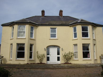 Greenmount HouseHouse · 1.1 mi
Explorer Tom Greenmount House would want 'Finally Rested' engraved on its tombstone, honestly. It has those polygonal bay windows…
 Páirc Uí Néill, Clontibret O'NeillsGAA ground · 1.3 mi
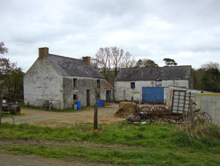 Ballygreany MillMill (water) · 1.3 mi
Explorer Tom Ballygreany Mill in Fintully is basically a fancy cowshed now, which I think is hilarious. The polychrome chimneys are…
 Battle of ClontibretBattlefield · 1.6 mi
Explorer Tom Battle of Clontibret in Monaghan is where a poet fell into a ditch nearby, which is probably the most romantic thing to…
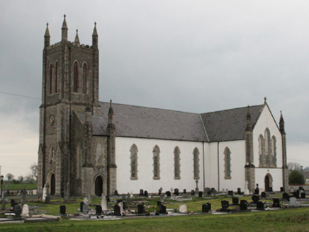 Saint Mary's Catholic ChurchChurch/chapel · 1.6 mi
Explorer Tom Saint Mary's Catholic Church in Tullybuck has a curse that only affects people who don't wave at it when they pass by.…
 Stone sculpture in TullybuckStone sculpture · 1.6 mi
Explorer Tom Stone sculpture in Tullybuck is probably carving its own ribs right now that nobody is watching. The Black Pig…
 Moys National SchoolSchool · 1.6 mi
Explorer Tom Moys National School in Tullybuck splits boys and girls into separate classrooms, which is brave for 1875. It’s red…
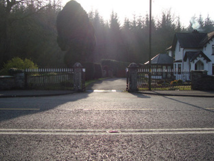 Castleshane HouseGates/railings/walls · 1.6 mi
Explorer Tom Castleshane House is really just a gateway now since the big house burned down in 1920. It’s standing there on the…
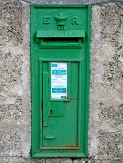 post box1.6 mi
Explorer Tom Post box in Tullybuck would tell secrets about the King after three pints, but it’s too polite. It’s wearing its royal…
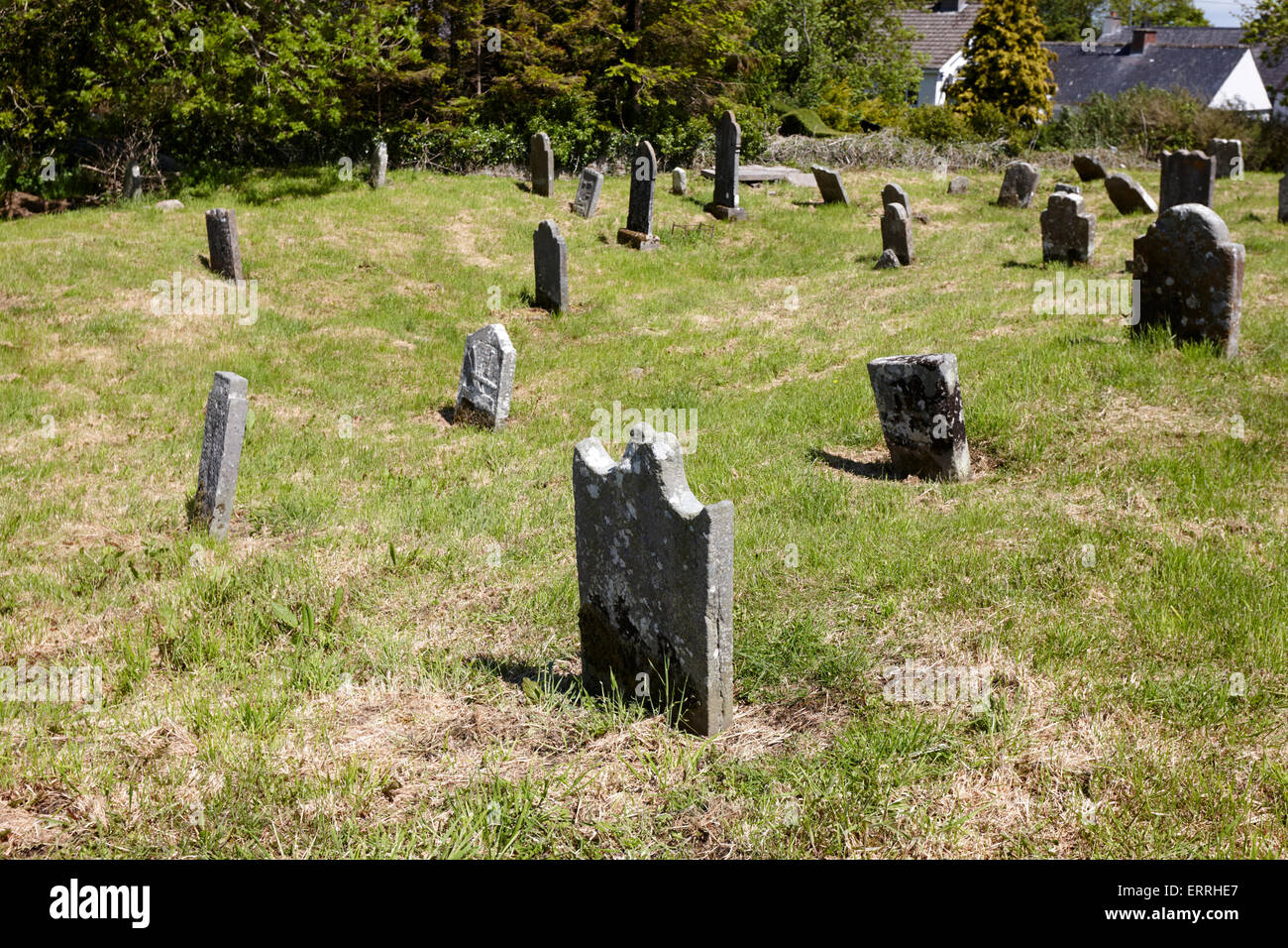 Mapped cemeteryCemetery · 2.9 mi
Explorer Tom A fairy dispute over parking rights started this Mapped cemetery, and now every car that parks there gets its wheels…
 Keady MonumentMemorial · 5.1 mi
Explorer Tom Keady Monument in Market Street was built in 1871 after William Kirk drank enough tea to power a small village. He was…
More archaeology and monuments in County Monaghan · All of County Monaghan

What do you know about this place?Tap to add a comment or ask a question