What is recorded here
This record was formerly classed as 'hut sites possible' in the SMR (1990). It is in rough pasture, on the bog-covered valley of the Sneem River. Barrington (1976, 292) referred to 'circles in the soft ground.' According to the landowner, the stone platforms enclosed by low banks or shallow ditches were used to store dry fionnán or turf.
Compiled by: Elizabeth Byrne, Ursula Egan and Sheila Ronan, Archaeological Survey Unit, University College, Cork.
Date of upload: 30 May 2011
The monument record does not grant public access. Check the route and ask the landowner before entering private land.
- What survives
- Recorded monument
Places near here
 RoadRoad, road/trackway · 272 yd
 Field boundary in DromtineField boundary · 320 yd
 SheepfoldsEnclosure · 1494 yd
 Slievenashaska South TopMountain / peak · 1.6 mi
 SlievenashaskaMountain / peak · 1.6 mi
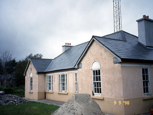 Sneem Garda Síochána Stationgarda station/constabulary barracks · 2.4 mi
 De Gaulle MemorialMonument · 2.5 mi
 Sneem Commemoration PlaqueMemorial · 2.6 mi
 GarinishIslet · 4.5 mi
 Coral BeachBeach / strand · 4.7 mi
 2Cliff · 5.1 mi
 Rossdohan IslandIsland · 5.3 mi