What is recorded here
Situated on flat pasture with good views in all directions. Not visible at ground level. The site was ploughed out by a local farmer in the late 1960s.
The above description is derived from 'The Archaeological Inventory of County Tipperary. Vol. 1 - North Tipperary' compiled by Jean Farrelly and Caimin O'Brien (Dublin: Stationery Office, 2002). In certain instances the entries have been revised and updated in the light of recent research.
Date of upload/revision: 22 September 2008
The monument record does not grant public access. Check the route and ask the landowner before entering private land.
- What survives
- Recorded monument
Places near here
 Drominagh Lodgehouse · 799 yd
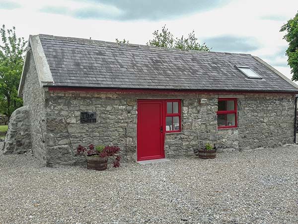 Enclosure in TerryglassEnclosure · 1174 yd
 Drominagh Housegate lodge · 1230 yd
 Drominagh CastleCastle · 1737 yd
 IndicatedEnclosure · 1.1 mi
 Bounla IslandIslet · 1.3 mi
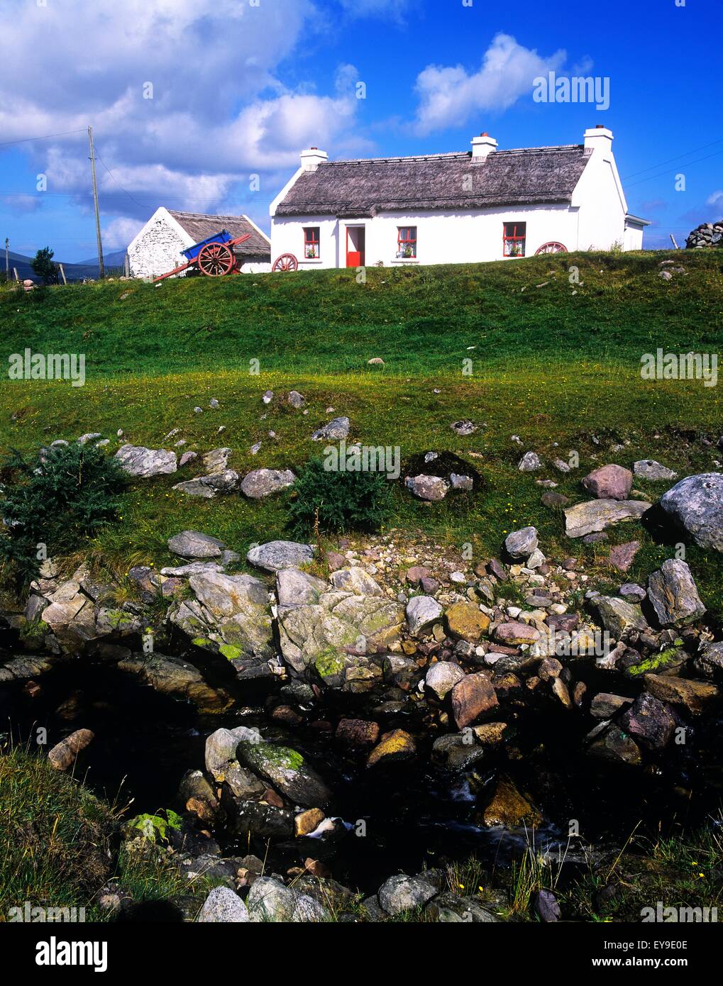 Sally IslandIslet · 1.3 mi
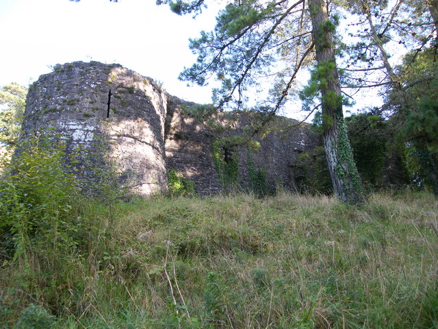 Old CourtCastle, Anglo-Norman masonry castle · 1.5 mi
 Cregg PointHeadland · 2.5 mi
 Kylenameely WoodWood · 2.7 mi
 Portumna Forest ParkForest · 2.8 mi
 Slevoir BayBay · 3.1 mi