
What is recorded here
Located towards the top of a slight N-facing slope and within the co-axial field system (ME020-081----). A gradiometer survey (12R0080) of the Old Racecourse field recorded the relict ditches of the field system and some enclosures defined by ditches (Ní Lionáin and Davies 2016, 149). Archaeological monitoring and testing (18E0047) by C. Ní Lionáin of a sequence of tree-planting sites on the line of the old avenues that are recorded on the 1836 edition of the OS 6-inch map identified the ditch (R2) of an enclosure (diam. c. 23m) from the gradiometer survey, which was investigated in a small area (dims 3.4m NE-SW; 3m NW-SE).
Four post-holes, three of which were cut into the upper fill of the enclosure ditch (Wth 2m; max. D 0.53m) and could have formed a rectangular structure (dims c. 1.25m NE-SW; x c. 1.2m NW-SE), or another combination of three post-holes might have formed a post-line crossing the ditch. The tip of a flint arrowhead and crumbly sherds of Early Neolithic pottery were recovered from the top fills of two of the post-holes. The U-shaped enclosure ditch had two fills of yellow/brown silty clay or sandy silt and produced one chert flake. The W edge of a metalled area was just S of the enclosure ditch and it sealed another NE-SW ditch (Wth 1.1m plus; D 0.6m) with two fills of sandy silt or clay that produced no artefacts and appears to run parallel the enclosure ditch. (Ní Lionáin 2019, 7-9)
Compiled by: Michael Moore
Date of upload: 1 November 2022
The monument record does not grant public access. Check the route and ask the landowner before entering private land.
- What survives
- Recorded monument
Places near here
 pill boxpill box · 694 yd
 Proudfootstown CastleCastle, unclassified · 698 yd
 Glenmore ForestWood · 928 yd
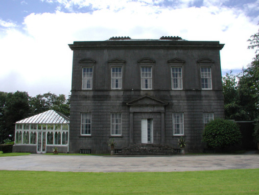 Dowth Hallcountry house · 1148 yd
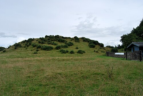
 Enclosure in StalleenEnclosure · 1323 yd
 European YewEuropean Yew · 1346 yd
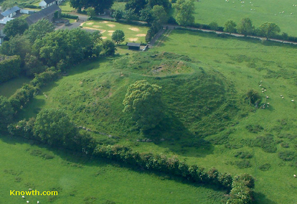 Concentric enclosure in DowthConcentric enclosure · 1347 yd
 Battle of the BoyneMajor battlefield · 1542 yd
 Battle of the Boyne Visitor CentreMuseum · 1584 yd
 Dowth CastleCastle, tower house · 1665 yd
 Grove IslandIslet · 1.1 mi
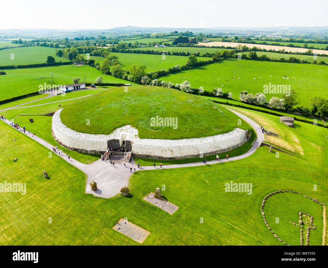
 DowthNeolithic passage tomb · 1.1 mi
Other information
Photo: Credit not shown in the picture search · Rights wording not checked; contact us if this picture should be removed