What is recorded here
Situated on a broad, fairly level area. A remote sensing survey (12R0080 ext.) conducted during 2014 in the Racecourse Field of the Dowth estate recorded elements of a field system that cover almost the entire area of about 20ha (c. 50 acres). These single ditch features create five E-W field divisions, spaced 66-90m apart, and sub-divided by N-S oriented linear elements to create long, rectangular, and very regular fields (dims c. 100-150m x c. 50-100m). There are a number of possible stock-holding enclosures in the corners of some of the fields. One of them (ME020-081001-) at the S edge of the area was tested and Neolithic pottery was recovered from a post-hole in the fill of its ditch (Ni Lionáin 2019, 7-9). A possible ‘plectrum-shaped enclosure’ and associated features were identified in the northeast corner of the area. In the southeast there is a single, curvilinear boundary with a higher magnetic reading than in other areas, which is perhaps a later addition. (Ní Lionáin and Davis 2016, 149)
Compiled by: Michael Moore
Date of upload; 9 December, 2016
Amended: 1 November 2022
The monument record does not grant public access. Check the route and ask the landowner before entering private land.
- What survives
- Recorded monument
Places near here
 Enclosure in DowthEnclosure · 169 yd
 Proudfootstown CastleCastle, unclassified · 529 yd
 pill boxpill box · 662 yd
 Glenmore ForestWood · 1077 yd
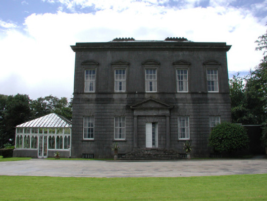 Dowth Hallcountry house · 1162 yd
 European YewEuropean Yew · 1219 yd
 Battle of the BoyneMajor battlefield · 1416 yd
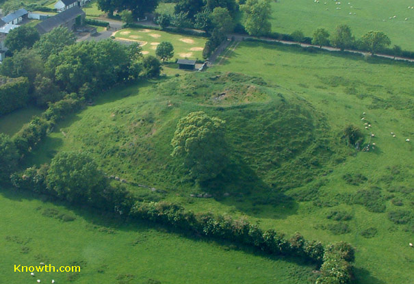 Concentric enclosure in DowthConcentric enclosure · 1420 yd
 Battle of the Boyne Visitor CentreMuseum · 1459 yd
 Dowth CastleCastle, tower house · 1665 yd
 Grove IslandIslet · 1.0 mi
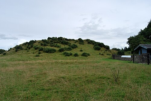 DowthNeolithic passage tomb · 1.1 mi