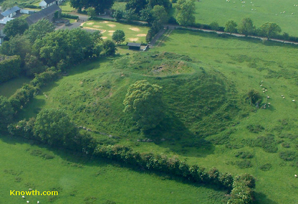
What is recorded here
Located on a bluff overlooking a NW-SE section of the River Boyne, which is c. 100m to the SW. This monument was first identified from a LiDAR Survey of the Brú na Bóinne World Heritage Site (Davis et al. 2013), and was confirmed by a magnetic gradiometry survey (12R0080) conducted during 2012. Close analysis of these results identifies three widely-spaced ditch features (ext. dims c. 123m E-W; c. 104m N-S). The innermost enclosure (diam. c. 60m) has at least one possible Man-made underground passage identified as a trench in the NW interior, while a rectangular house site is identifiable in the NE interior. Two other house-sites are in the vicinity and a line of at least three rectangular fields (dims c. 40m x c. 30m) extend NNW from the innermost ditch feature. (Ní Lionáin and Davis 2016, 134-5)
Two cores were extracted (16E0347) by Clíodhna Ní Lionáin and other from the inner (Wth of top 8-9m; min. D 1.5m) and middle (Wth of top 6-7m; min. D 2.68m) ditches of this monument (excavation.ie 2016:848) for chemical analysis. The higher phosphate values of the inner fosse suggest that it has accumulated more settlement debris.
Compiled by Michael Moore
Date of revised upload: 9 December, 2016
Amended: 3 February 2021
The monument record does not grant public access. Check the route and ask the landowner before entering private land.
- What survives
- Recorded monument
Places near here
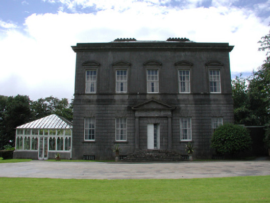 Dowth Hallcountry house · 514 yd
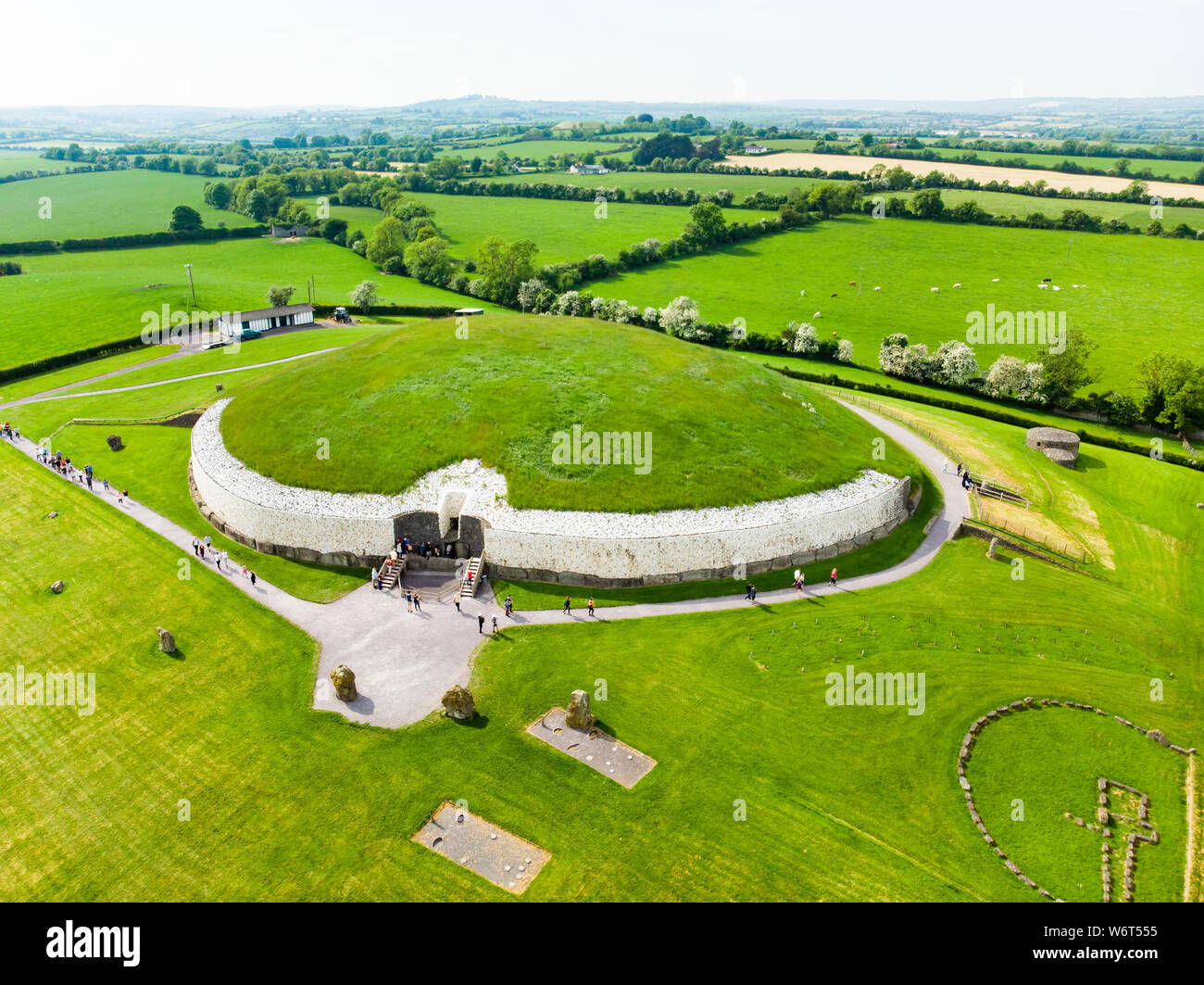 Enclosure in StalleenEnclosure · 726 yd
 Dowth CastleCastle, tower house · 732 yd
 Church (in Ruins)Church · 761 yd
 St. Bernards WellHoly well · 808 yd
 Glenmore ForestWood · 812 yd
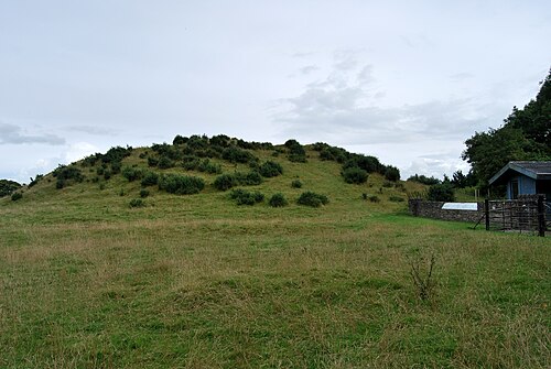 DowthNeolithic passage tomb · 859 yd
 Brú na Bóinne Visitor Centre AccessHeritage attraction · 1062 yd
 Brú na Bóinne Visitors CentreVisitor information · 1285 yd
 Proudfootstown CastleCastle, unclassified · 1691 yd
 European YewEuropean Yew · 1.5 mi
 Battle of the BoyneMajor battlefield · 1.6 mi
Other information
Photo: Credit not shown in the picture search · Rights wording not checked; contact us if this picture should be removed