What is recorded here
In pasture, on S-facing slope. Monument, depicted as embanked ovoid enclosure (c. 30m N-S; c. 45m E-W) on 1923 OS 6-inch map, is now largely inaccessible due to dense overgrowth. As far as could be ascertained the enclosing element consists of a low earthen bank with a shallow external fosse. Field boundary skirts enclosing element E->S, as does public road S->W. Both of these may have truncated enclosing element.
Compiled by: Denis Power
Date of upload: 26 August 2011
The monument record does not grant public access. Check the route and ask the landowner before entering private land.
- What survives
- Recorded monument
Places near here
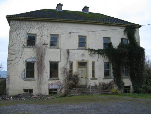 Odell Villecountry house · 796 yd
 Enclosure in Kilmihil (connello Upper By.)Enclosure · 1307 yd
 Glebe Houserectory/glebe/vicarage/curate's house · 1323 yd
 Holy well in CloontempleHoly well · 1415 yd
 Hachured (1923).Castle, motte · 1.1 mi
 Castle (in ruins)Castle, tower house · 1.5 mi
 Famine stoneMemorial · 2.0 mi
 Lady's WellSpring · 2.3 mi
 Sunday WellSpring · 2.4 mi
 KnockfeerinaMountain / peak · 2.6 mi
 European ashEuropean ash · 4.2 mi
 Flat cemetery in Kiltenan SouthFlat cemetery · 4.5 mi