
What is recorded here
In level pasture. D-shaped area (c. 40m N-S; c. 40m E-W) defined by scarped edge (H 0.2m; Wth 1m) with external fosse (D 1m; Wth 1.4m) SW->NE. Causeway entrance (Wth 5.2m) at N. Enclosing element replaced by field boundaries on E and S sides. Low earthen bank, running along outer edge of fosse SW->WNW, is probably relic field boundary. Level interior is partially covered by rough pasture, partially covered by overgrowth.
Compiled by: Denis Power
Date of upload: 26 August 2011
A local fairy fort (ringfort/rath); wider significance not recorded.
The monument record does not grant public access. Check the route and ask the landowner before entering private land.
- What survives
- Recorded monument
Places near here
 Burial Ground for ChildrenChildren's burial ground · 367 yd
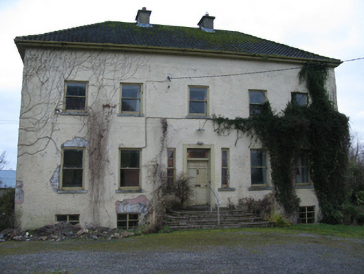 Odell Villecountry house · 1506 yd
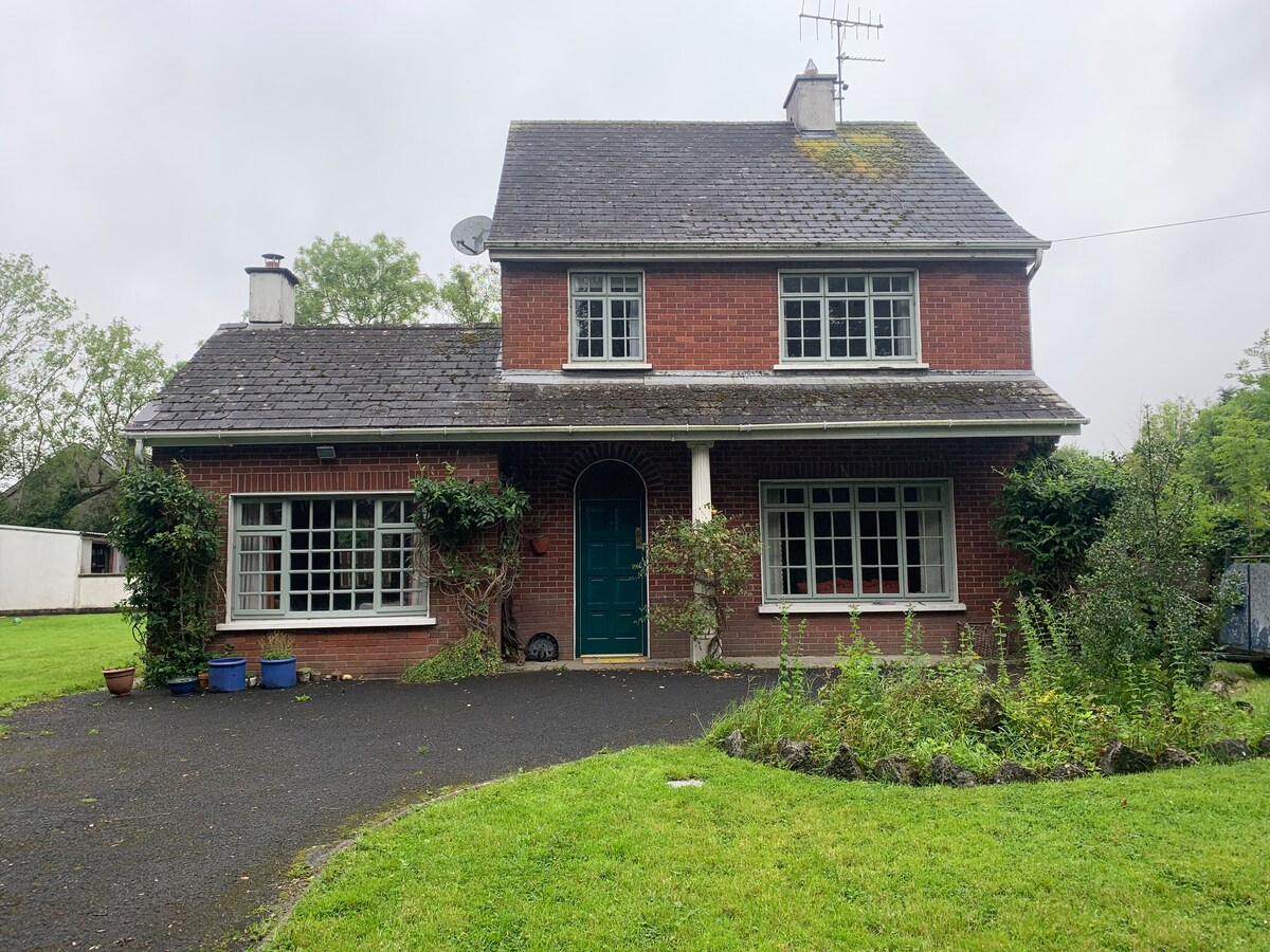 Enclosure in CommonEnclosure · 1609 yd
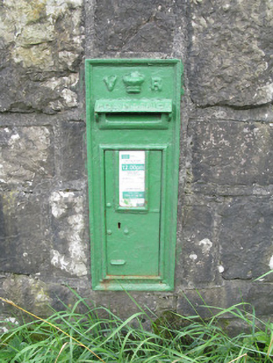 post boxpost box · 1.2 mi
 Hachured (1923).Castle, motte · 1.4 mi
 Famine stoneMemorial · 1.6 mi
 Castle (in ruins)Castle, tower house · 1.8 mi
 KnockfeerinaMountain / peak · 2.1 mi
 Lady's WellSpring · 3.0 mi
 Sunday WellSpring · 3.0 mi
 Flat cemetery in Kiltenan SouthFlat cemetery · 4.6 mi
 European ashEuropean ash · 4.9 mi
Other information
Photo: Credit not shown in the picture search · Rights wording not checked; contact us if this picture should be removed